(BIVN) – Scientists with the USGS Hawaiian Volcano Observatory have published a new satellite map that shows the location of recent inflationary ground deformation on the upper and middle East Rift Zone.
Kīlauea is not erupting, and the USGS Volcano Alert Level remains at ADVISORY.
“Increased earthquake activity and rates of ground deformation at Kīlauea’s upper East Rift Zone (UERZ) began early Tuesday morning,” USGS HVO scientists wrote on Wednesday. “Activity is still elevated but has decreased over the past 24 hours.”
From the HVO analysis on Wednesday, August 21:
UERZ unrest over the past night may represent another pulse of magma being supplied to the UERZ, following the intrusive event that occurred near Pauahi Crater over July 22–25, 2024. Currently, the MERZ has not shown signs of increased unrest; however, magma has recently re-established a path to Kīlauea’s MERZ. Unrest could potentially extend to the MERZ with continued magma supply.
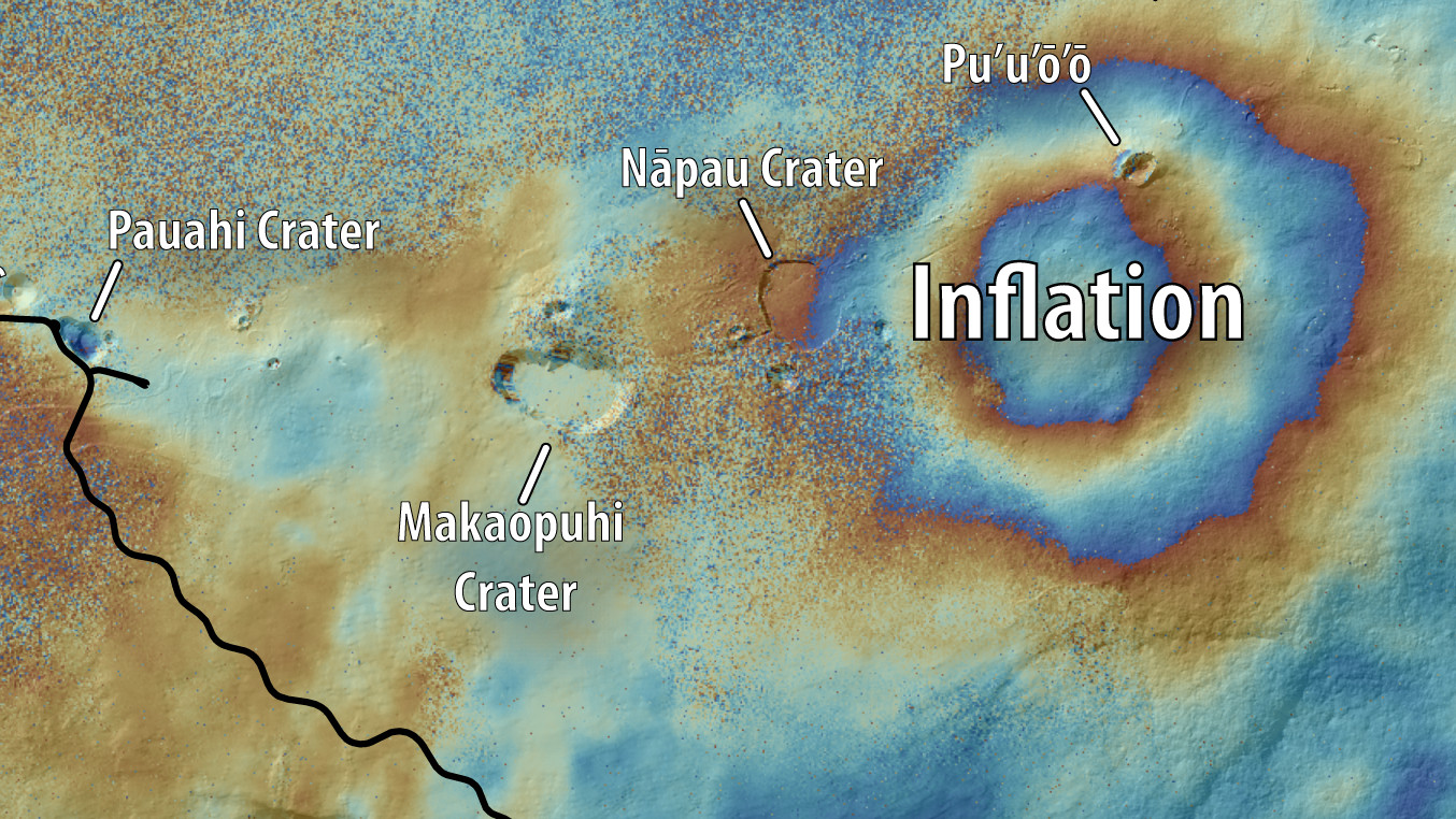
In its August 8th information statement, the USGS HVO wrote that recent observations “indicate that magma is accumulating beneath the ground in the area of Makaopuhi Crater and Napau Crater, a well-known magma storage region on Kīlauea’s remote middle East Rift Zone.”
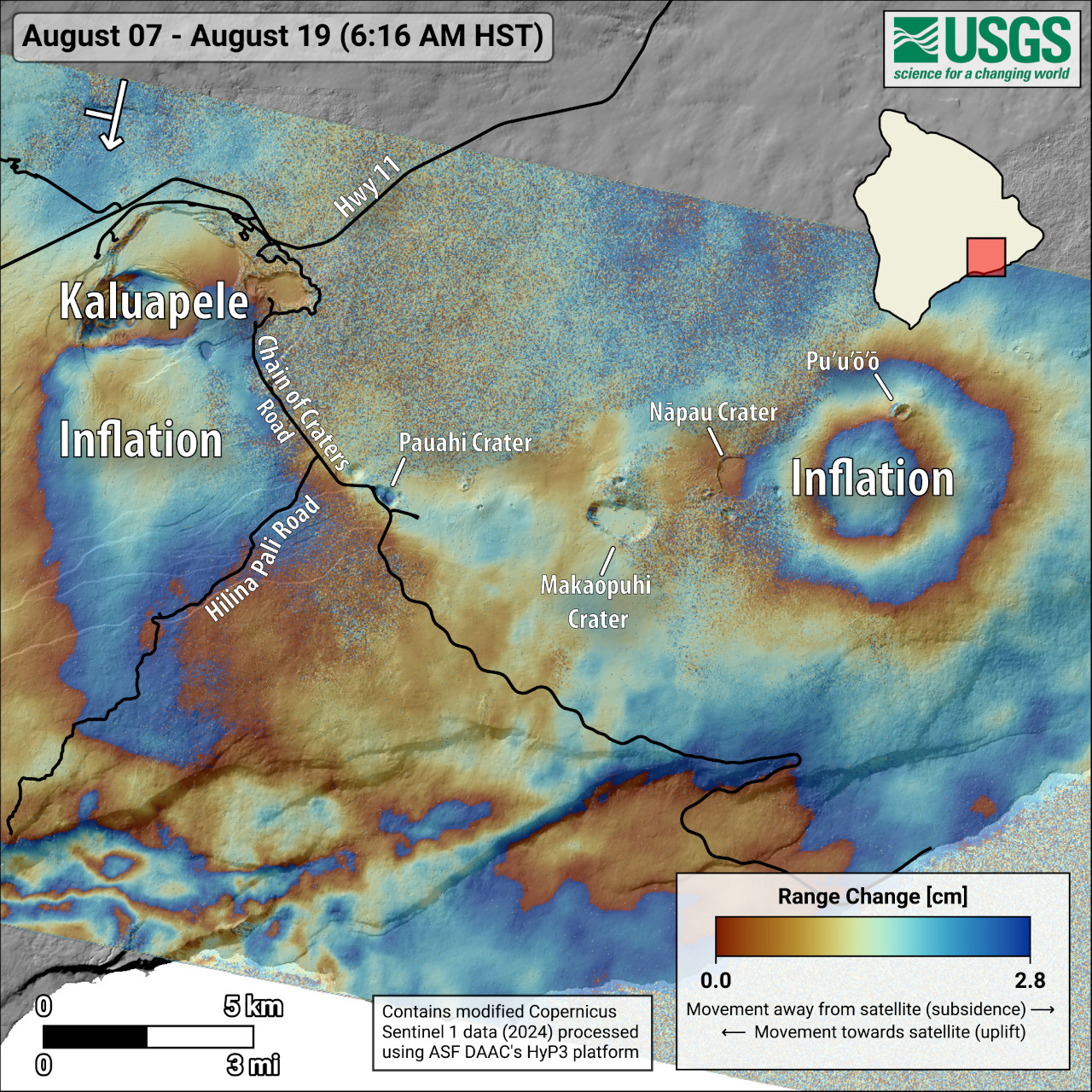
This map shows recent deformation at Kīlauea, over the timeframe of August 7-19, 2024. Data were acquired by the European Space Agency’s Sentinel-1A satellite. Colored fringes denote areas of ground deformation, with more fringes indicating more deformation. Each color cycle represents 2.8 cm (1.1 in) of ground motion. The round feature east of Makaopuhi Crater on the East Rift Zone indicates inflation over this time period due to magma accumulation underground. Arrow in the upper left indicates satellite orbit direction (arrow) and look direction (bar).
HVO says it is watching the situation closely and is in close contact with Hawai‘i Volcanoes National Park. “Currently, there are no signs of an imminent eruption; however, conditions could change quickly,” HVO said.

by Big Island Video News
on at
STORY SUMMARY
HAWAIʻI VOLCANOES NATIONAL PARK - Activity on Kīlauea's upper East Rift Zone is still elevated but has decreased over the past 24 hours.