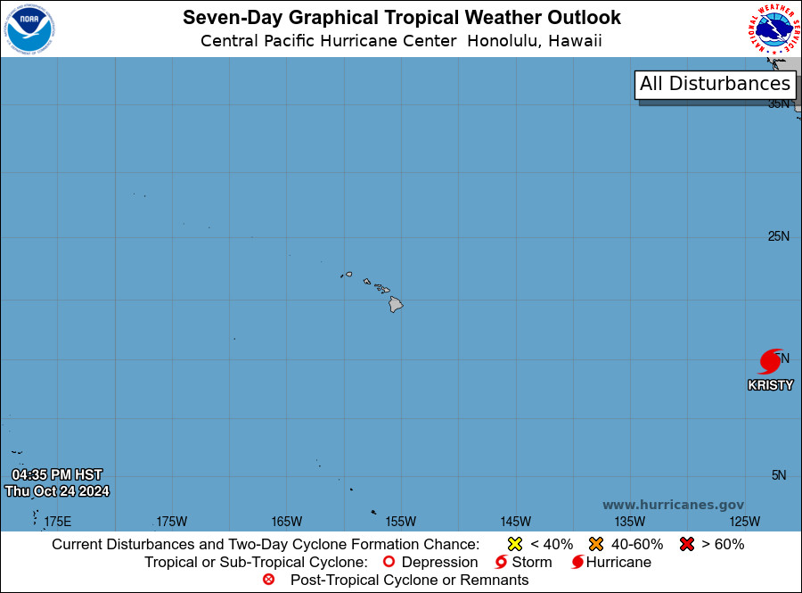
(BIVN) – Hurricane Kristy, located in the Eastern Pacific about 2,165 miles east-southeast of Hilo, is expected to begin rapidly weakening tomorrow night and dissipate in four days, well to the east of Hawaiʻi.
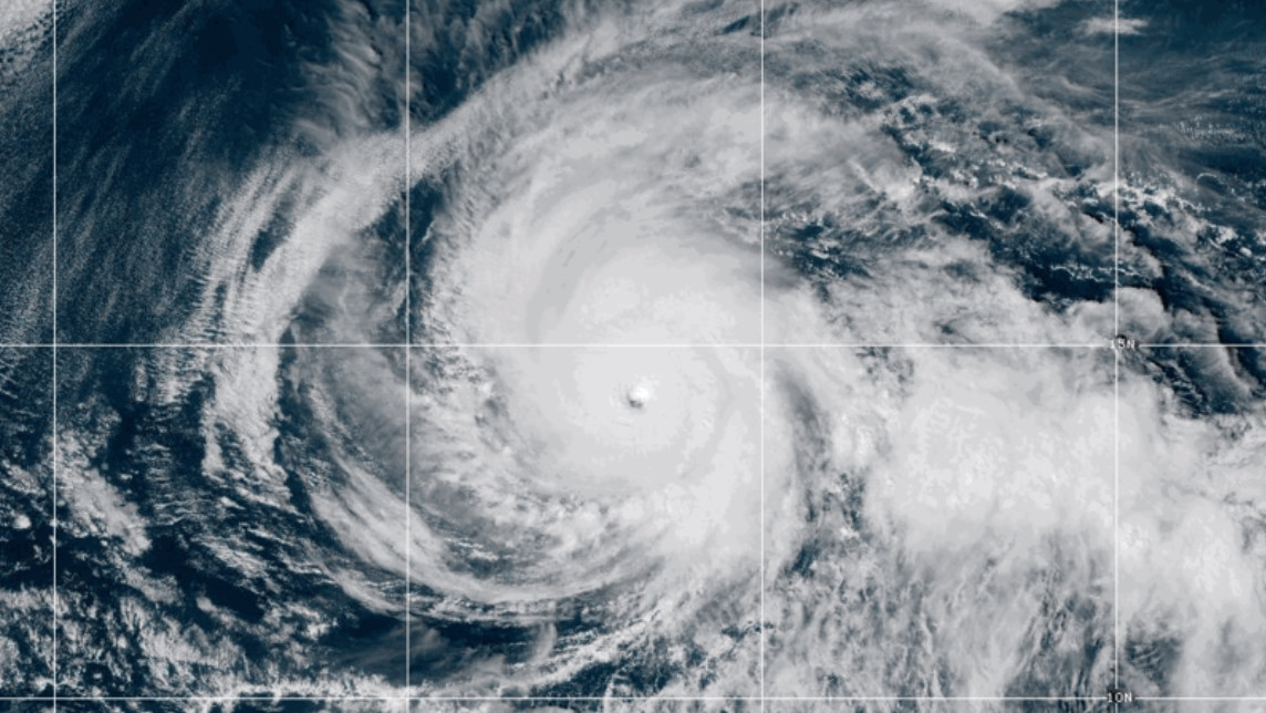
With maximum sustained winds near 155 mph, Kristy is currently a category 4 hurricane on the Saffir-Simpson Hurricane Wind Scale. The hurricane is moving west, but is forecast to turn west-northwestward and then northwestward on Friday, and slow down over the weekend.
From the National Hurricane Center discussion issued on Thursday evening:
Kristy remains a very powerful hurricane. A ring of intense deep convection is relatively symmetric around the eye. However, the eye itself has lost some definition during the past few hours. The latest satellite intensity estimates range from about 130 kt to 140 kt, and based on that data, and the slightly degraded satellite appearance, the initial intensity is nudged downward to 135 kt. An ASCAT-C pass from several hours ago indicated that Kristy was a little larger than previously estimated, but still smaller than average.
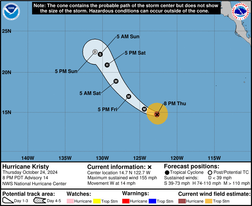
The major hurricane continues to move westward at about 12 kt to the south of a ridge near Baja California. A gradual turn to the northwest and then the north-northwest is forecast on Friday and over the weekend as Kristy moves around the ridge. The system is also expected to slow down as a trough approaches from the west, causing the steering currents to weaken. The models have trended a little to the north this cycle, and the NHC track forecast has been adjusted in that direction.
Kristy will likely maintain its strength overnight as it remains in an environment of low wind shear, relatively high moisture, and over warm 28 degree C waters. However, a combination of much stronger southeasterly wind shear and progressively cooler waters should promote rapid weakening beginning Friday night. The NHC intensity forecast is near the high end of the model guidance, but in fair agreement with the HCCA and IVCN consensus models. Kristy is expected to become a remnant low by day 3 and dissipate by day 4.