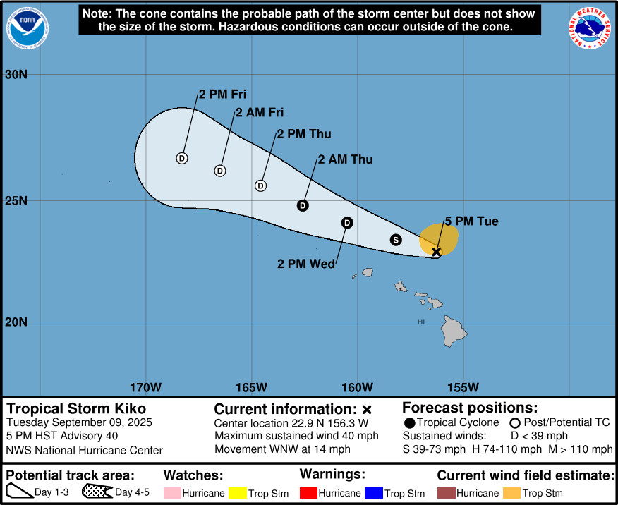
(BIVN) – Kiko remains a tropical storm, 150 miles northeast of Honolulu, moving west-northwest at 14 mph as of 5 p.m. Tuesday evening.
The threat of direct impacts to the Hawaiian Islands continues to diminish as Kiko remains on its forecasted track.
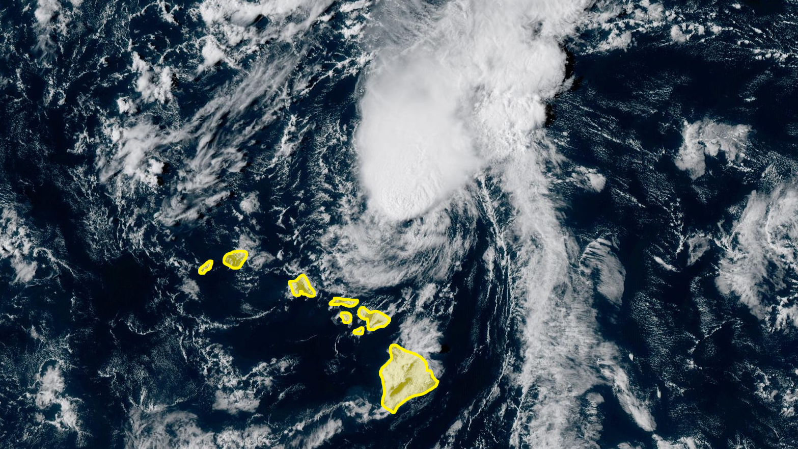
The High Surf Warning for east-facing shores of Hawaiʻi island was cancelled today, after the swell produced by Kiko “did not get as large as anticipated and is on a steady decline this afternoon”, the National Weather Service reported.
“The trailing band of moisture extending from TC Kiko to waters well east of the Big Island will advance west through the area tonight and Wednesday,” the Honolulu-based forecasters stated. “This band resides along the convergent lead edge of high pressure that will build into the area during the medium range. A wide coverage of showers over windward portions of the Big Island and Maui can be expected tonight mainly after midnight and mainly over areas exposed to ESE flow. Locales such as western Maui and the Hamakua Coast of the Big Island likely observe little in the way of rainfall while amounts up to a couple of inches will be possible for other windward locations. Weak capping will favor localized heavy downpours, but the general expectation is for rain rates to remain below 1″ per hour.”
From the Central Pacific Hurricane Center at 5 p.m. HST:
A new convective burst has developed in association with Kiko, with the strongest convection currently just north of the low-level center. Scatterometer data received since the last advisory indicated at least 35 kt winds in the northern semicircle, and based on this and the current convective trends the initial intensity is held at 35 kt.
While the center of Kiko turned a little to the left during the past several hours, the longer-term motion remains west-northwestward at 285/12 kt. Kiko is expected to continue a general west-northwestward track with a gradual decrease in forward speed during the next three days as it is steered by low-level easterly flow on the south side of the subtropical ridge. The new forecast track is adjusted a little to the left of the previous track based on the initial position, and it lies near or just north of the various consensus models.
The cyclone is forecast to remain within a high shear environment over the next 12-18 h, and it is expected that Kiko will weaken to a depression during that time. After that, while the shear weakens for a time, the upper-level flow becomes convergent and the airmass around the cyclone is quite dry. This combination should eventually stop the associated convection, and Kiko is expected to degenerate to a remnant low by 48 h. The system is expected to dissipate completely between 72-96 h.
Key Messages:
1. Kiko is forecast to pass north of the Hawaiian Islands tonight and Wednesday. Additional weakening is expected, and the threat of direct impacts on the islands continues to diminish, though interests should still monitor Kiko’s progress and the latest forecasts.
2. Swells generated by Kiko are gradually building from east to west across the exposed Hawaiian waters and are forecast to peak tonight through Wednesday, potentially producing life-threatening surf and rip currents. Refer to the latest updates and forecasts issued from the National Weather Service in Honolulu, Hawaii.

by Big Island Video News
on at
STORY SUMMARY
HAWAIʻI - The High Surf Warning for East Hawaiʻi shores in Hawaiʻi County has been cancelled, as Tropical Storm Kiko passes to the north.