
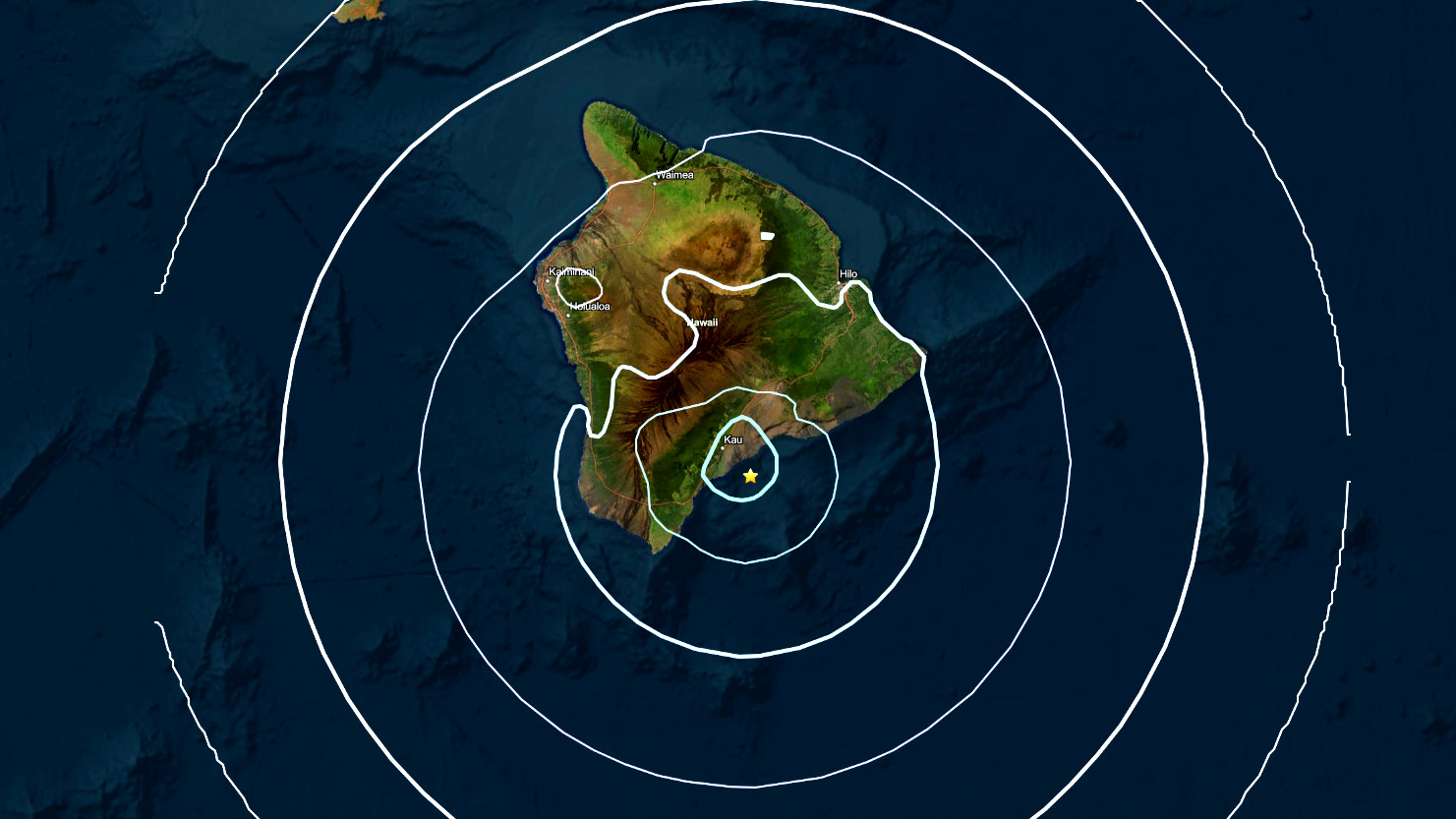

(BIVN) – A magnitude-4.4 earthquake was felt across the island of Hawaiʻi at 5:16 p.m. on Thursday evening.
The earthquake was located under the ocean, south of the Kaʻū district, at a depth of 18 miles (29 km) below sea level. The event was not strong enough to generate a tsunami threat to the Island or State of Hawaiʻi.
The earthquake had no apparent impact on either Mauna Loa or Kīlauea volcanoes, the USGS Hawaiian Volcano Observatory reported.
“This earthquake is part of the seismic swarm under the Pāhala area, which has been going on since 2019,” the Observatory stated. “Earthquakes in this region have been observed at least as far back as the 1960s”
No damage to buildings or infrastructure was expected based on the earthquake intensity, the Observatory said.
“As in all earthquakes, be aware of the possibility of after-shocks,” a Hawaiʻi County Civil Defense message stated. “If the earthquake was strongly felt in your area, check for any damages, including but not limited to structural and gas, water, and electrical utilities.”
there were more than 155 “felt” reports within the first half hour of the quake, from as far away as North Kohala.
