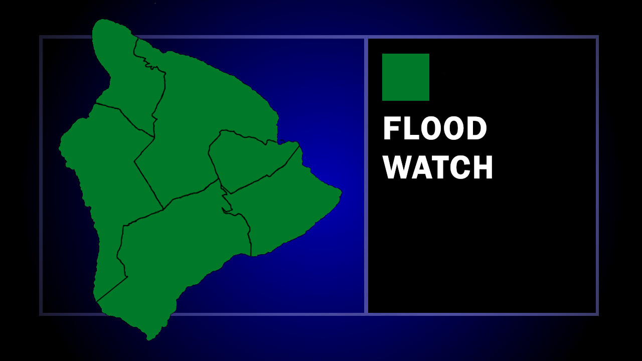
(BIVN) – A Flood Watch remains in effect for the entire State of Hawaiʻi through Monday afternoon, as low pressure northwest of the islands continues to draw deep tropical moisture northward and increasing the chances of heavy rainfall.
The National Weather Service says the heaviest rain is expected over Molokai, Oʻahu, and Kauai.
“Of note, the Flood Watch remains in effect for the Big Island to cover convective potential mainly over the South Kohala and North Kona Districts this afternoon,” the forecasters wrote in a Sunday morning discussion.
The Hawaiʻi County Civil Defense issued a message to Big Island residents on Sunday, saying “flooding may not occur, but is possible”, and advising:
- Residents in flood prone areas should be prepared for heavy rains and potential flooding
- Be aware that road closures may occur without notice
- Do not attempt to cross flowing water in a vehicle or on foot; turn around don’t drown.
- Remember, if lightning threatens your area, the safest place to be is indoors.
Light trade winds are expected to return at the end of the week.

by Big Island Video News
on at
STORY SUMMARY
HAWAIʻI ISLAND - Flash flooding caused by excessive rainfall is still possible, although less likely for Hawaiʻi island.