(BIVN) – A large-scale tropical disturbance called the Madden–Julian Oscillation (MJO) is a significant driver of the islands’ climate, including recent extreme weather events.
A new study by the University of Hawaiʻi at Mānoa examined the MJO, which travels eastward through the tropics every 30 to 60 days. The weather pattern “significantly boosts rainfall during its active phases, particularly on windward slopes,” the researchers say.
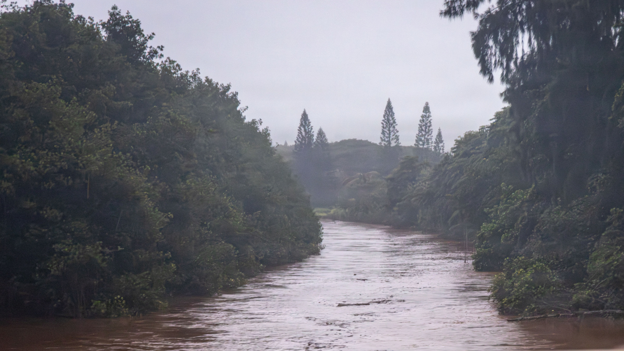
In March, two powerful kona low systems brought damaging winds and flooding rains to the Hawaiian islands. Another weather system soaked parts of the state in April.
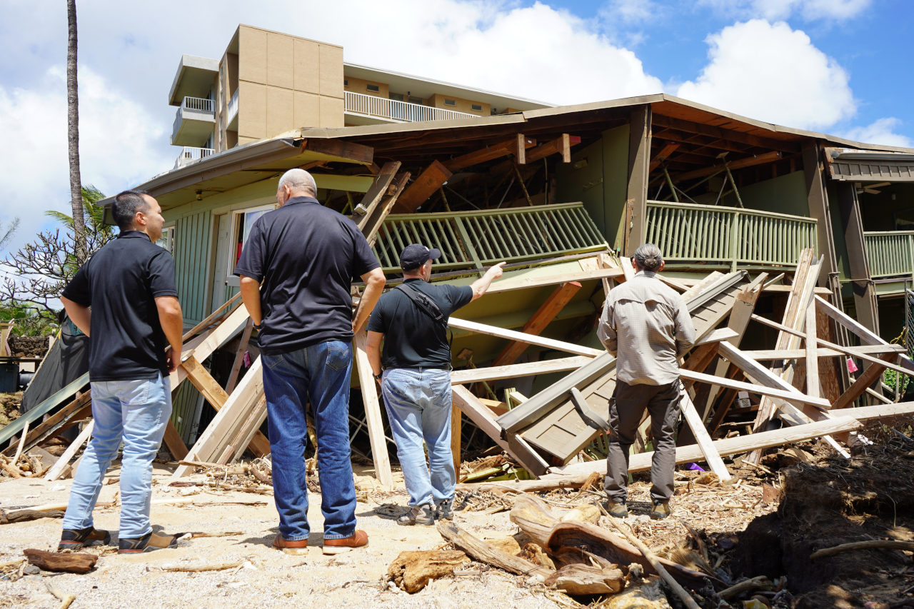
Photo courtesy Office of Governor Josh Green
Impacts from the March storms resulted in a federal disaster declaration for the state. The combined weather events also served to end most drought conditions across Hawaiʻi.
“Understanding how the MJO affects Hawaiʻi’s climate helps explain rainfall variability on timescales of weeks to months,” said Audrey Nash, lead author of the study and doctoral candidate in the Department of Atmospheric Sciences in UH Mānoa’s School of Ocean and Earth Science and Technology. “The MJO evolves slowly and can be monitored in real time. Understanding its influence can help scientists and forecasters better anticipate periods of heavy rainfall, drought conditions, and shifts in weather patterns across the islands.”
From the University of Hawaiʻi news release:
While the MJO was known to influence weather patterns across the tropics, its impact on Hawaiʻi had not previously been examined in detail at timescales of one to three months.
Nash and Giuseppe Torri, associate professor of atmospheric sciences, analyzed long-term, high-resolution atmospheric and rainfall datasets covering Hawaiʻi and the surrounding Pacific Ocean, including data from the Hawaiʻi Climate Data Portal. By compositing rainfall, temperature and atmospheric variables across different phases of the MJO, they identified consistent patterns showing how the MJO modulates rainfall and climate conditions across the Hawaiian Islands.
“We expected a small impact, but it was surprising how consistently rainfall across the islands responds to active and suppressed phases of the MJO,” said Nash.
Active phases of the MJO are also associated with cooler temperatures, higher humidity and stronger northeasterly winds across the islands. The authors note that these patterns appear to be linked to large-scale atmospheric responses to the MJO, including slow moving Rossby waves in the central North Pacific and strengthening of the local Hadley Circulation, a major feature of global atmospheric movement that cools the tropics and warms the poles.
“Improving our understanding of rainfall variability is critical for water management, agriculture, and hazard preparedness,” said Nash. “This work reflects the University of Hawaiʻi’s mission to study the unique environmental systems that shape life in the islands and to provide science that benefits local communities.”

by Big Island Video News
on at
STORY SUMMARY
HAWAIʻI - University of Hawaiʻi researchers say a large-scale tropical disturbance is a significant driver of recent extreme weather events.