UPDATE – (June 8, 2026) – The magnitude for this earthquake was revised from a M-4.3 to a M-4.1 earthquake.
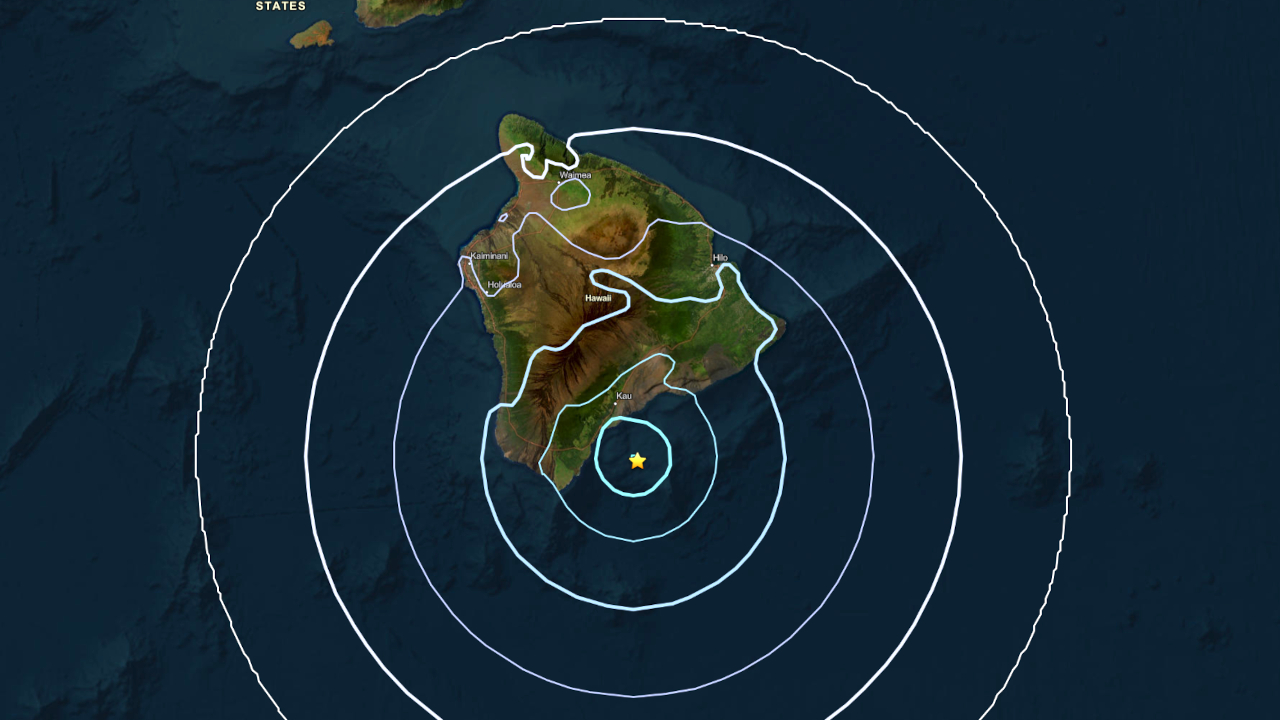
(BIVN) – A magnitude-4.3 earthquake shook Hawaiʻi island at 12:41 a.m. on Sunday morning.
The earthquake occurred off the Kaʻū cost, nearly 14 miles east-southeast of Naʻalehu, at a depth of 26 km (16 miles) below sea level.
No tsunami was expected, the Pacific Tsunami Warning Center in Honolulu reported, although “some areas may have experienced shaking”.
The earthquake was felt around the island, as far north as Waimea, according to the USGS Did You Feel It? report.
The USGS Hawaiian Volcano Observatory has not yet issued an information statement on the possible source of the earthquake. We will update this story if/when they do.