(ABOVE VIDEO) Tuesday morning’s Hawaii County Civil Defense message with video and photos taken on Monday by the USGS Hawaiian Volcano Observatory.
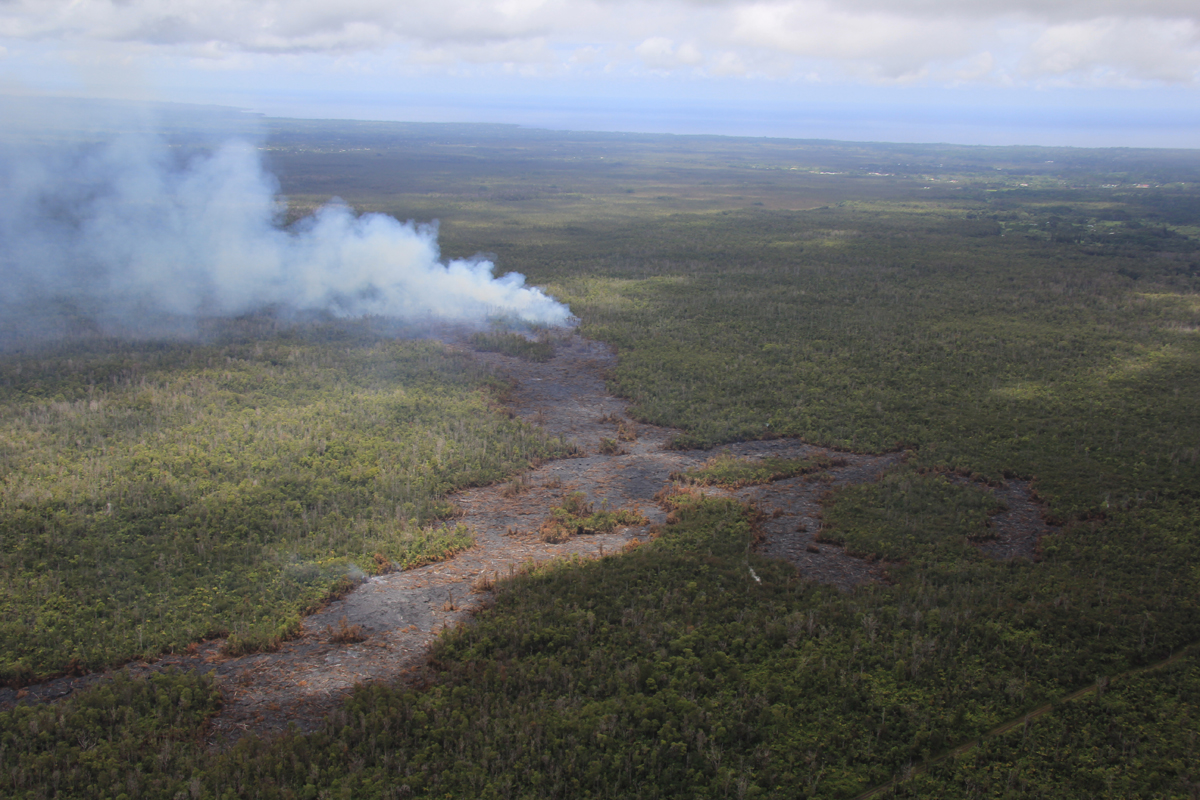
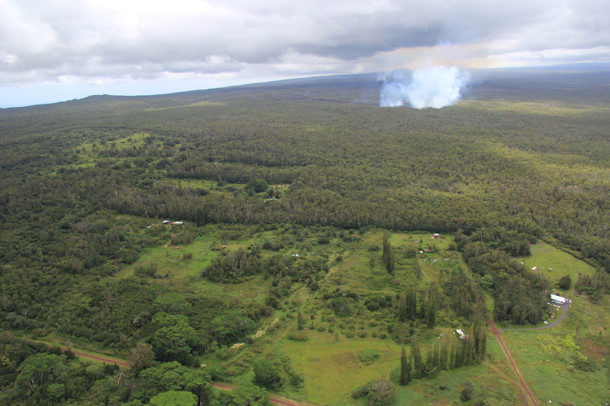
PUNA, Hawaii – The June 27 lava flow continues to advance, moving in a north northeast direction. The surface flow has advanced about 300 yards since yesterday, says a new Hawaii County Civil Defense message. Subsurface flow activity also continues. The surface flow is located approximately .7 miles southwest or upslope of the Wao Kele Puna Forest Reserve boundary. It is moving parallel to the forest reserve boundary, civil defense reports.
In a Monday evening Volcanic Activity Notice, the USGS Hawaiian Volcano Observatory projected that lava “could flow from its current location either through the north part of Kaohe Homesteads, or to the north of Kaohe Homesteads, and reach the government road in Pāhoa within 16-18 days” if the path of the lava is not altered or confined by forest cracks or topography.

Presently, the current activities and flow does not present with an immediate or imminent threat to area communities. No evacuation is required at this time. Eruption activity will continue to be monitored and additional updates will be provided.
Although the current flow activity does not pose an immediate threat to area communities, residents are encouraged to continue to review their emergency plans in the event conditions change and should an evacuation be necessary.
The public is reminded that the flow cannot be accessed and is not visible from any public areas. Access to the Kaohe Homesteads subdivision will be restricted and limited to subdivision residents only. Hawaii County Civil Defense message
Hawai’i County Civil Defense and the Hawaiian Volcano Observatory will hold another community meeting on Tuesday, Sept. 9 and again on Thursday, Sept. 11 to update residents on the lava flow. The briefings will begin at 6:30 p.m. Tuesday and Thursday in the Pahoa High School Cafeteria.