graphic by BIVN
Audio by Hawaii County Civil Defense, issued July 7, 2019.
UPDATE: Monday, July 8 – The National Weather Service in Honolulu has issued a Wind Advisory, which is in effect until 8 p.m. HST this evening. East winds will be at 25 to 35 mph with higher gusts up to 50 mph across the most of the Big Island.
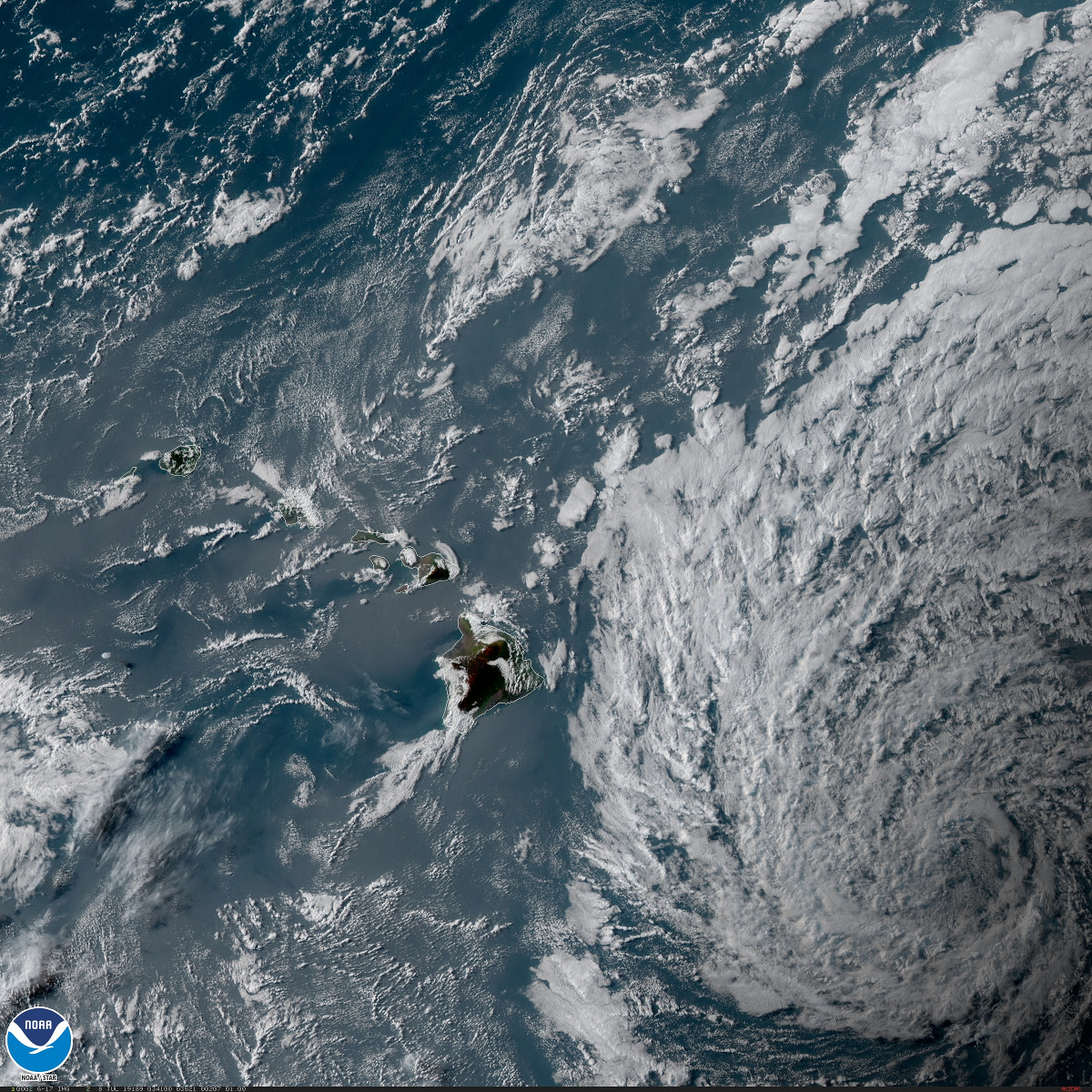
At 4 a.m. Monday morning, the National Weather Service reported: “The remnants of former tropical cyclone Barbara continue to spin roughly 300 miles southeast of Hilo this morning. Satellite imagery this morning shows bands of unstable clouds radiating outward from the center of this remnant trough and drifting over windward mountain ranges. Abundant and unstable tropical moisture surrounding this trough will pass westward through the islands today and tomorrow.”
(BIVN) – Hawaiʻi County Civil Defense issued a new audio message Sunday night on the forecasted heavy rain from moisture associated with the remnant of Barbara, expected to begin tonight.
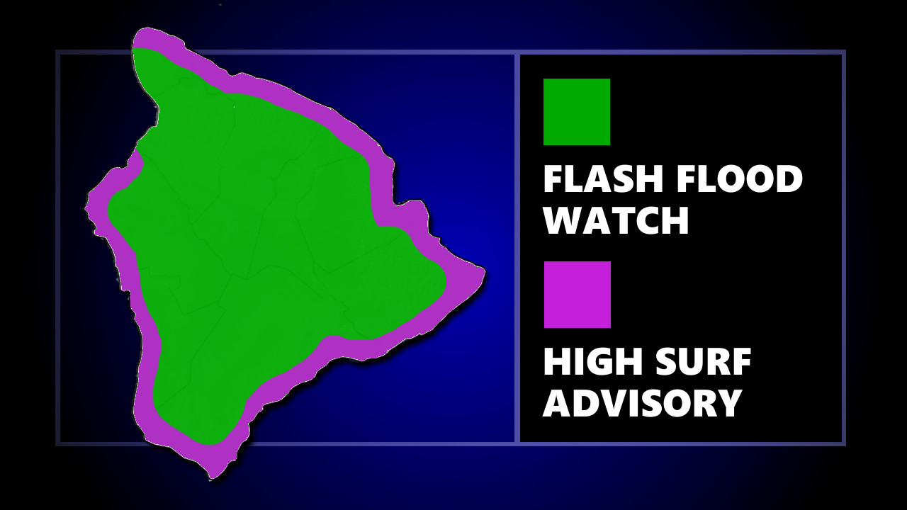
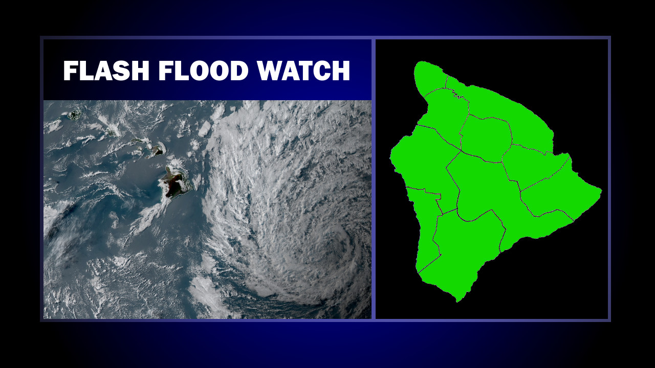
A Flash Flood Watch, issued by the National Weather Service in Honolulu, continues on Hawaiʻi Island, from 10 p.m. this evening through late Monday night.
A High Surf Advisory also remains in effect for most of the Big Island. Along east facing shores, surf heights are expected to remain 9 to 14 feet through Tuesday morning.
On the water, a Gale Warning is in effect for the Alenuihaha Channel, as well as Big Island leeward and southeast waters. A Small Craft Advisory is in effect for the remainder.
In its 4:30 p.m. message, civil defense said that due to the Flash Flood Watch, the following are in effect:
- Onset of rains are forecast to begin tonight and continue through tomorrow night.
- Those in flood prone areas, take action before nightfall to prepare for the possible effects of flash flooding and heavy rains.
- Flash Flooding is LIFE THREATENING, do not cross fast flowing water.
- Remember, if lightning threatens your area, the safest place to be is indoors.
- If you experience heavy rain or rising water, head to higher ground immediately.

satellite image from NOAA GOES-West – Sector view: Hawaii
The National Weather Service had these details on the former tropical cyclone Barbara in its 3:52 p.m. HST discussion:
The low level circulation is expected to pass by just south of the state. However, moisture associated with Barbara is expected to bring an increase in shower activity across the area especially over the east end of the island chain. A Flash Flood Watch is currently posted for the Big Island beginning tonight and continuing through Monday night as they will be closer to the highest moisture content. Daytime heating may allow for a few thunderstorms to develop Monday afternoon over the Big Island slopes. There still remains some uncertainty as to how far north the moisture field will extend as it passes the longitude of the islands. Although all islands are likely to see some locally heavy rainfall, especially windward areas, the potential for flooding rainfall away from the Big Island appears less likely at this time. However expansions to the Flash Flood Watch are still a possibility.
Also, as the remnants of Barbara pass by south of the area, trade winds are expected to become locally windy as the pressure gradient tightens up across the area. Winds are expected to become lighter on Tuesday as Barbara begins to move away from the area.


by Big Island Video News6:08 pm
on at
STORY SUMMARY
HAWAIʻI ISLAND - The onset of rains from the moisture associated with the remnant of Barbara are forecast to begin tonight and continue through tomorrow night, emergency officials say.