Big Island Video News

Serving Hawaii County

  • Hawaiʻi Island News Regions
    • Hamakua
      • Mauna Kea
    • Hilo
    • Kau
    • Kona
    • Kohala
    • Puna

Image from interactive map by USGS shows the location of the earthquake.

Magnitude 4.2 Earthquake West Of Kona Coast
Avatar photo

by Big Island Video News
on Jul 7, 2021 at 8:32 am

Subscribe to Big Island Video News (FREE)

* indicates required

STORY SUMMARY

HAWAIʻI ISLAND - The USGS reports the Magnitude 4.2 earthquake struck nearly 50 miles west northwest of Kalaoa.

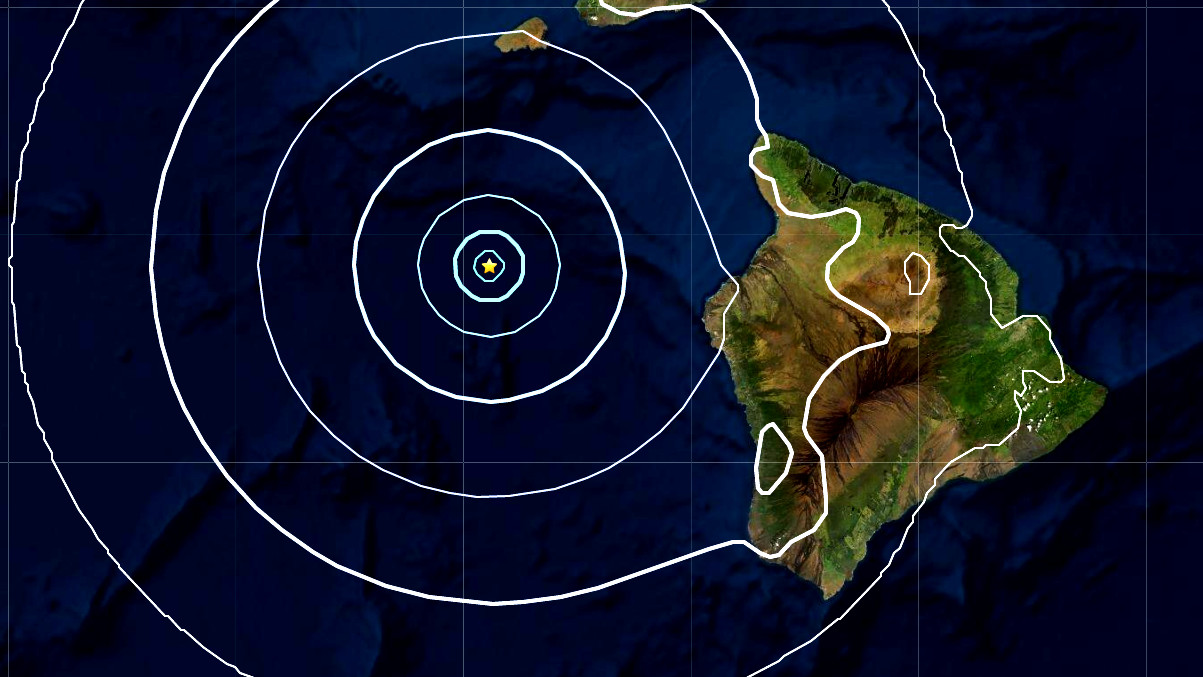
(BIVN) – A Magnitude 4.2 earthquake rumbled under the Pacific Ocean on Wednesday morning, nearly 50 miles off the coast of Kona.

The earthquake occurred “in the deep ocean south of Kahoʻolawe”, west northwest of Kalaoa, at 7:40 a.m. HST.

The Pacific Tsunami Warning Center reported that no tsunami is expected from the earthquake. However, the PTWC added, some areas may have experienced shaking.

The earthquake was reportedly felt as weak shaking in Kona and on Maui.

UPDATE – (11:30 p.m.) – According to HVO Scientist-in-Charge Ken Hon, “the earthquake was likely due to readjustment of the oceanic plate from the weight of the island chain and poses no significant hazard. The earthquake had no apparent effect on either Mauna Loa or Kīlauea and the Pacific Tsunami Warning Center reported that no tsunami was generated by the earthquake.”


Filed Under: Hawaii Tagged With: earthquake

LATEST NEWS

Giant Banyan Tree Falls Over Kilauea Avenue

Captain Cook Man Arrested After Domestic Incident, Car Crash

“Village Street Eats” Debuts July 16th At Hilton Waikoloa Village

2025 Richardson Roughwater Swim Set For August 30

VOLCANO WATCH: Snowshoeing On Kīlauea? High Lava Fountains Pose New Challenges For USGS

Kīlauea Volcano Eruption Update for Thursday, June 10

About Big Island Video News

  • Privacy Policy

Copyright © 2025 · Dynamik-Gen on Genesis Framework · WordPress · Log in