Big Island Video News

Serving Hawaii County

  • Hawaiʻi Island News Regions
    • Hamakua
      • Mauna Kea
    • Hilo
    • Kau
    • Kona
    • Kohala
    • Puna

image from interactive USGS map showing the location of the earthquake under Maunakea

Magnitude 3.0 Earthquake Located Under Maunakea
Avatar photo

by Big Island Video News
on May 21, 2024 at 6:58 am

Subscribe to Big Island Video News (FREE)

* indicates required

STORY SUMMARY

ISLAND OF HAWAIʻI - A Magnitude 3.0 earthquake was located under Maunakea volcano on Tuesday morning, but was felt by only a few people on the Big Island.

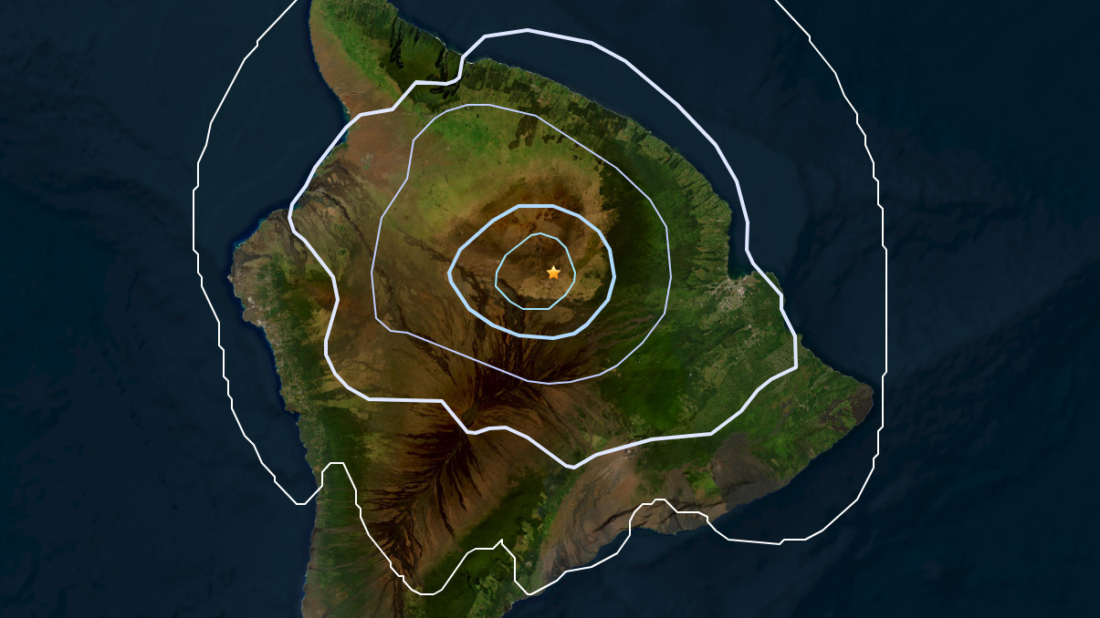
(BIVN) – A Magnitude 3.0 earthquake was recorded Tuesday morning, 12 miles below Maunakea on Hawaiʻi island, where most earthquakes occur beneath the more active Kīlauea and Mauna Loa volcanoes.

The earthquake event, located about 20 miles southwest of Laupāhoehoe, received 13 felt reports on the USGS website, mostly from individuals along the Hāmākua coast.

Maunakea – a 13,803 ft. high shield volcano – is not erupting, and its current alert level is NORMAL. It has not erupted for thousands of years.


Filed Under: Mauna Kea Tagged With: earthquake, Maunakea

LATEST NEWS

Hawaiʻi Volcanoes National Park Shares Tips For Busy Holiday Season

USGS Replaces Webcam Destroyed By Kīlauea Lava Fountain

Kīlauea Volcano Update for Friday, December 19

“Keeper Of The Bay” Doc Showing Set For Waimea In January

Flood Advisory Issued For North, South Kohala

Senate Passes Military Spending Bill, Includes Provision On Pōhakuloa Land

About Big Island Video News

  • Privacy Policy

Copyright © 2025 · Dynamik-Gen on Genesis Framework · WordPress · Log in