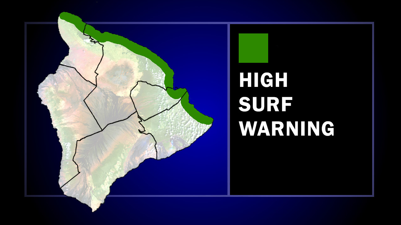
(BIVN) – A High Surf Warning has been issued for north-facing shores of East Hawaiʻi going into the weekend.
The National Weather Service says the warning will be in effect from 6 p.m. Friday evening to 6 p.m. on Sunday. Beaches along North Kohala, Hāmākua, Hilo, and Puna could be impacted.
From the NWS in Honolulu:
A north-northwest (330-340 deg) swell building tonight will be reinforced by a large long period north (340-350 deg) swell Saturday and Sunday. High Surf Advisory conditions are expected along most north facing shores through early Saturday. A much larger pulse of long period north swell will rapidly build Saturday afternoon and peak Saturday night and Sunday. During the peak, surf along north and exposed east facing shores of most islands should reach High Surf Warning levels, while most west facing shores experience advisory level conditions.
Forecasters expect to see surf of 10 to 16 feet along north-facing shores on Friday night, building to 20 to 26 feet Saturday afternoon. East facing could see surf up to 10 to 15 feet on Saturday afternoon.
The National Weather Service also issued a Marine Weather Statement, warning that the large north swell could produce surges in north-facing harbors.
“Moderate surges can be expected in north facing harbors, especially at Kahului and Hilo, early Saturday, with heavy surges possible during the peak of the swell Saturday afternoon through Sunday,” forecasters wrote. “Mariners using these harbors should exercise caution when entering or leaving port and when mooring or launching.”

by Big Island Video News
on at
STORY SUMMARY
HILO, Hawaiʻi - Surf heights of 20 to 26 feet could impact north-facing shores of East Hawaiʻi on Saturday.