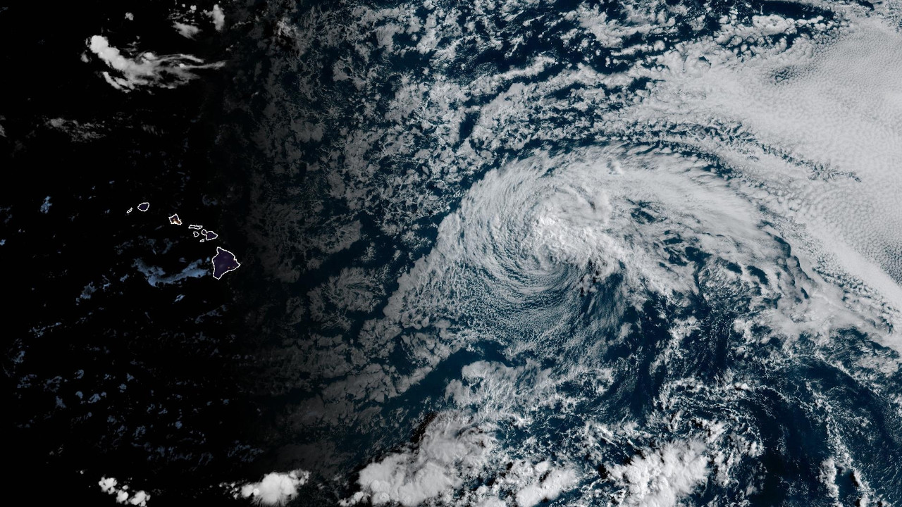
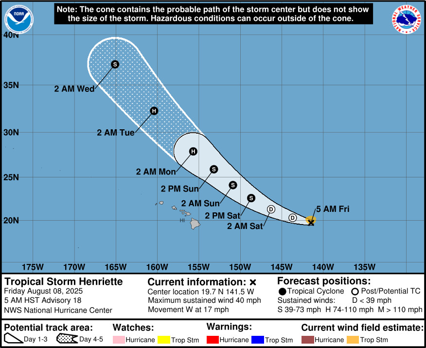
(BIVN) – Tropical Storm Henriette is about 885 miles east of Hilo, moving west at 17 mph. Henriette is forecast to eventually drift northwestward, passing just north of the Hawaiian Islands from Sunday through Monday.
With maximum sustained winds at 40 mph, Henriette is barely a tropical storm. Henriette could degenerate to a remnant low later today, the National Hurricane Center says. However, it is then expected to restrengthen, possibly becoming a hurricane by Monday, far from Hawaiʻi.
The National Weather Service says the passage of Henriette “will produce lighter trade winds, increasing shower trends over island interior sections, with very warm and humid conditions lasting into Monday.”
“Trades begin to transition back into the islands with decreasing humidity and a more stable trade wind weather pattern from Monday afternoon onward,” forecasters said.
From the National Hurricane Center discussion posted at 5 a.m. HST:
Henriette has failed to produce deep convection for about 12 hours now. The latest subjective Dvorak estimates are 25 kt from JTWC and too weak to classify from SAB and PHFO. Recent objective intensity estimates range from 25 to 40 kt. An earlier ASCAT pass from 0535 UTC showed a large area of 30-33 kt vectors on the north side of Henriette. Henriette will be maintained as a 35-kt tropical storm for this advisory, but it could degenerate to a post-tropical remnant low at any time today.
The cyclone is moving just north of due west at 280/15 kt. A turn to the west-northwest is expected soon as the cyclone tracks along the southwestern periphery of a subtropical ridge to its northeast. A turn toward the northwest is forecast late this weekend into early next week as Henriette becomes steered between an amplifying longwave trough northwest of Hawaii and the subtropical ridge to its northeast. The NHC track forecast is nearly identical to the previous one and is in good agreement with the tightly clustered consensus aids. Confidence remains high that Henriette will remain far to the north of Hawaii.
Henriette is over 24C sea-surface temperatures (SSTs) and is embedded within a dry airmass. These cold SSTs are expected to persist along the cyclone’s track for another 12 to 24 h. If Henriette doesn’t generate organized convection soon, it could degenerate to a remnant low today, and this is explicitly shown in the NHC forecast Beyond 24 h, Henriette (or its remnants) will encounter progressively warmer water temperatures over the weekend, peaking around 26-27C in about 3 days. Upper-level temperatures are also expected to decrease in a couple of days as the aforementioned trough approaches Henriette, which would increase instability. These factors, along with relatively low shear, will likely allow Henriette to restrengthen later this weekend into early next week, as depicted by most of the models. The NHC intensity forecast is at the low end of the guidance envelope through 36 h, and at the high end of the guidance at 72-96 h. Beyond day 4, wind shear from the longwave trough and cooling SSTs should lead to steady weakening as Henriette moves farther into the mid-latitudes.
Even if Henriette becomes post-tropical today, given the high likelihood of regeneration back into a tropical cyclone and subsequent restrengthening, NHC plans on maintaining advisories during the post-tropical phase.

by Big Island Video News
on at
STORY SUMMARY
HAWAIʻI - Henriette is barely a tropical storm, but it is expected to become a hurricane as it moves northwestward, far from Hawaiʻi.