(BIVN) – A kona low and deep, unstable moisture could bring heavy rains to Hawaiʻi island starting late Saturday night.
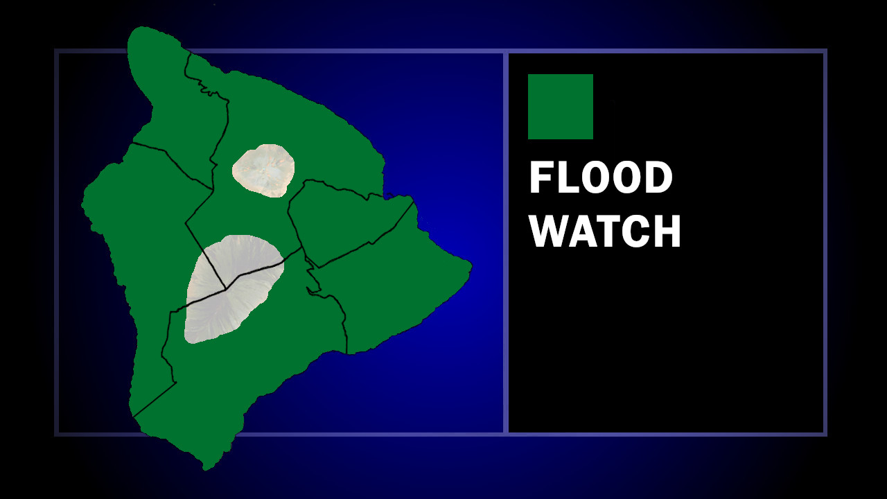
The National Weather Service in Honolulu has issued a Flood Watch for the Hawaiian islands, including the lower elevations of the Big Island.
“A kona low will develop north of Kauai late tonight drifting along a southwestward track on Sunday before drifting to the west by Monday,” the NWS wrote on Saturday morning. “Deep unstable moisture will spread across all islands, convective cloud bands riding in on southeasterly to southerly winds will produce periods of moderate to heavy showers and thunderstorms affecting all islands. For the Big Island and Maui, the greatest flood risk remains along the southeast slopes driven by strong southeasterly winds building heavy showers over island mountains.”
On Friday, forecasters noted in a NWS discussion that “ensemble guidance from the GFS and ECMWF have been producing some of the highest rainfall totals over windward and southeast Big Island and, to a lesser degree on Maui, where the current shower band could stall and provide a source of enhanced moisture.”
From the Flood Watch, detailing possible impacts:
Flood prone roads and other low lying areas may be closed due to elevated runoff and overflowing streams. Urban areas may receive more significant flooding and property damage due to rapid runoff. Significant flooding may occur due to the overflow of streams and drainages. Roads in several areas may be closed, along with property damage in urban or low lying spots due to runoff. Landslides may also occur in areas with steep terrain.
The Flood Watch is expected to be in place from late tonight through Monday afternoon. Hawaiʻi island may see isolated thunderstorm activity by Tuesday.
UPDATE – Ahead of the storm, Hawaiʻi County officials issued statements, urging public readiness.
“Storms like this are unpredictable and potentially dangerous, so we urge the public to be prepared,” said Mayor Kimo Alameda. “The picture right now looks like the biggest risk is to Puna and Hilo communities, but that could shift to Ka‘ū or to Kona coast communities by later this weekend.”
“This is an evolving storm, so we encourage everyone to stay informed about the forecast; if you haven’t already done so, we encourage you to sign up for emergency alerts at the Hawai‘i County Civil Defense website to receive updates on your cell phone,” said Talmadge Magno, Civil Defense Administrator.
The National Weather Service also noted that “deepening moisture will spread clouds and showers to even the highest summits of the Big Island during this event.”
“Snow levels will likely fall to around the 11,000 foot elevation level, bringing periods of snow and freezing rain to the summits of Mauna Loa and Mauna Kea on the Big Island,” the forecasters wrote on Saturday. “Our confidence on snowfall and icing amounts remain too low for any winter weather headlines at this time. Stay tuned as roads to the summit may become treacherous due to wintery weather during this time period.”

by Big Island Video News
on at
STORY SUMMARY
HAWAIʻI - The Flood Watch will be in effect from late tonight through Monday afternoon for all Hawaiian Islands.