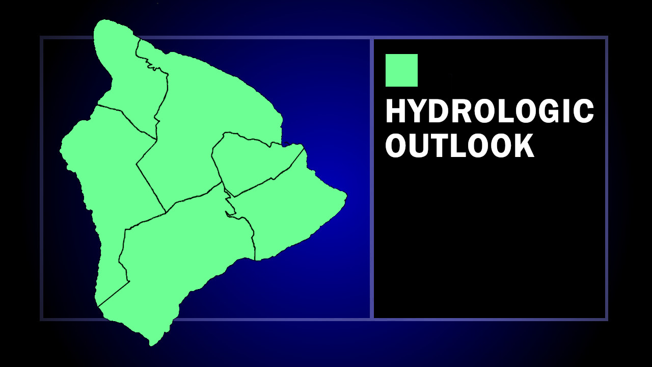
(BIVN) – The National Weather Service is forecasting possible heavy rains and flash flooding across Hawaiʻi in the coming week.
“A strong low pressure system will develop northwest of the state over the weekend, bringing deep moisture into the area,” the forecasters wrote in a new Hydrologic Outlook advisory. “The potential for heavy rains, thunderstorms, and flash flooding will develop over Kauai County late Monday into Monday night, spreading eastward to the entire state Tuesday and Wednesday. This potential could easily last into next weekend, and perhaps even beyond.”
The National Weather Service said “it is too soon to forecast rainfall totals or exact timing and locations of maximum flash flooding potential,” but noted that “now would be a good time to clean out storms drains and culverts, or anything else that can block the flow of water.”
The National Weather Service went into greater detail in its Saturday morning forecast discussion:
A notable shift in the large-scale pattern is expected to unfold across the Hawaiian Islands during the upcoming week. The current dry and fairly stable regime, characterized by moderate to locally breezy east-southeast trade flow, will hold in place through the weekend. Conditions will then begin to change late Monday into Monday night as a deep upper trough develops and amplifies northwest of the islands, bringing a multi-faceted weather event to the state that could include heavy rainfall with flash flooding potential, strong to severe storms, and strong kona winds.
Model guidance continues to indicate a strong jet streak, with core winds around 120 to 140 kt at 250 mb, digging southeast along the western flank of the evolving trough. As this occurs, the trough is expected to acquire a more negative tilt and expand toward the island chain. The islands will increasingly come under the influence of the jet streaks left-exit region, promoting enhanced upper-level divergence aloft. This large-scale ascent, combined with smaller shortwave disturbances rotating around the base of the trough, could generate periods of organized convection through much of next week, potentially beginning as early as Tuesday.
At the surface, global and ensemble guidance are fairly consistent in depicting a broad cyclonic circulation developing northwest of the state by early next week in response to strong upper height falls. Central pressures near 985 to 990 mb are possible with this feature remaining well northwest of the islands. The resulting pressure pattern will support strengthening south to southeast winds across the state, allowing a plume of deep tropical moisture to surge northward into the region. Precipitable water values are expected to climb into the 1.7 to 2 inch range by Tuesday over the western islands, then spread across the remainder of the state by midweek.
The evolving thermodynamic and kinematic environment, including upper height falls, cooler air aloft, and increasing deep-layer shear, will favor episodes of heavy rainfall with embedded thunderstorms. Combined with broad confluent south-southeast flow and island terrain effects, this pattern could support training and anchored convection, particularly along favored terrain, such as the Koolaus. This raises the potential for significant flooding concerns if heavier rainfall bands persist over the same areas. In addition to the heavy rainfall threat, some storms could become strong, and occasionally severe, by the middle of next week with locally damaging winds possible.
Impacts may begin to develop across the western islands as early as Monday night as the leading edge of the moisture plume reaches the state. The risk for heavy rain and thunderstorms will likely expand eastward across the remainder of the island chain Tuesday into Wednesday as deeper moisture and stronger forcing for ascent overspread the region.
While details regarding the exact timing and location of the heaviest rainfall remain uncertain, confidence continues to increase that a prolonged period of unsettled and potentially impactful weather will affect the islands next week. Flooding impacts could become more pronounced over time as soils become saturated and stream levels and reservoirs become elevated. Residents and interests across the state should continue to monitor forecasts through the weekend as this system comes into better focus and details regarding the timing and location of impacts become clearer.

by Big Island Video News
on at
STORY SUMMARY
HAWAIʻI - Heavy rain and flash flooding will be possible across the Hawaiian islands from late Monday into next weekend.