(BIVN) – A Special Weather Statement has been issued by the National Weather Service, as forecasters warn Hawaiʻi that a powerful kona storm will impact the state this week.
“A powerful kona storm will begin impacting the western end of the state as early as Tuesday, then spread across the remainder of the island chain by midweek,” the forecasters wrote on Monday morning. “While flash flooding remains a major concern (see the Flood Watch and Hydrologic Outlook for additional details), confidence is increasing that strong to severe thunderstorms may develop Wednesday into the weekend. Damaging winds will likely be the primary hazard with these storms, though large hail cannot be ruled out.”
A Flood Watch will be in effect for Kauai County and Oʻahu beginning Tuesday, and will likely be extended to include Maui County and Hawaiʻi island by midweek.
“While it is still too early to determine specific rainfall totals, confidence is increasing that considerable flooding impacts are possible,” the National Weather Service stated in an updated Hydrologic Outlook.
Forecasters provided details in this Monday morning discussion:
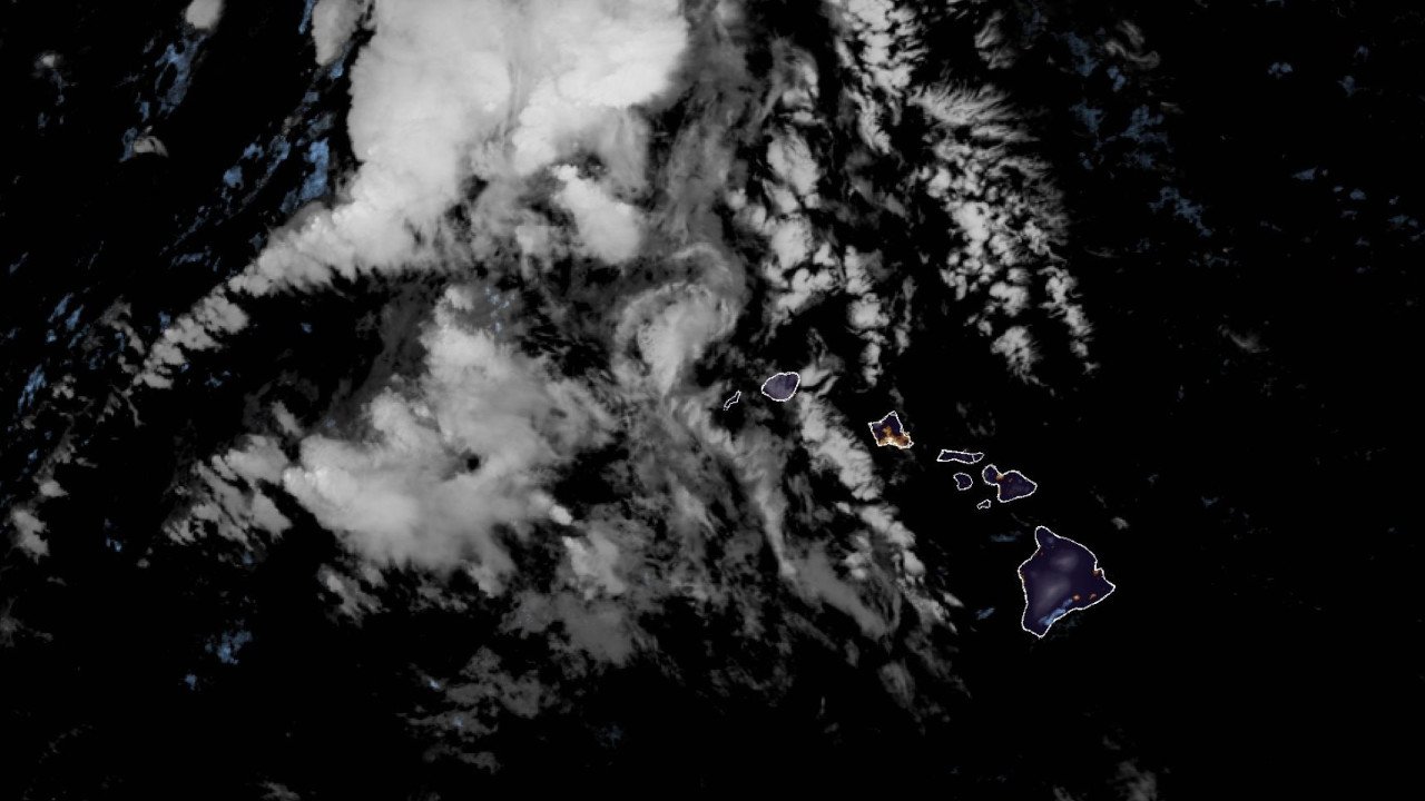
A significant transition in the large-scale weather pattern is expected to unfold across the Hawaiian Islands over next couple of days and continuing through the upcoming weekend. The current dry and relatively stable regime, characterized by moderate east-southeast flow, will persist today. Conditions will begin to deteriorate tonight into Tuesday as a deep upper-level trough amplifies northwest of the islands.
Deterministic models and their respective ensembles remain in strong agreement regarding the evolution of this system. A powerful jet streak with core winds of 100 to 140 kt at 250 mb is forecast to dig southward along the western flank of the trough. As this occurs, the trough will gradually acquire a negative tilt while expanding toward the island chain through the week. The islands will increasingly fall beneath the jet streaks left-exit region, supporting enhanced divergence aloft and large-scale ascent across the region.
At the surface, model guidance depicts a broad area of low pressure consolidating northwest of the islands in response to strong upper-level height falls. Central pressures could fall to near 990 mb while remaining well northwest of the state. The resulting pressure pattern will shift winds across the islands out of a southerly direction, drawing a plume of deep tropical moisture northward across the region.
from NOAA
Precipitable water values are expected to increase into the 1.5 to 2.0 inch range beginning Tuesday across the western islands, then spread eastward across the remainder of the state through midweek. This pattern will then persist through next weekend, with PWAT values potentially rising into the 2.0 to 2.3 inch range statewide later this week.
The combination of strong upper-level forcing for ascent, deep tropical moisture, and persistent southerly flow will create a favorable environment for periods of heavy rainfall with embedded thunderstorms. Repeated rounds of convection may occur as smaller disturbances rotate through the broader upper trough, increasing the potential for training rainfall bands along terrain-favored areas.
Flooding concerns are expected to increase statewide as the week progresses, particularly where the heavier rainfall persists over the same areas for multiple days. By late week and next weekend, soils will already be saturated, increasing the likelihood that additional rainfall will produce rapid runoff and dangerous flooding conditions.
In addition to the rainfall threat, strengthening south to southwest winds may develop during the latter portion of the week and upcoming weekend as the pressure gradient tightens between the developing low to the northwest and high pressure to the east. If this materializes, strong and damaging kona winds and localized downslope winds capable of downing trees and power lines will be likely.
While thunderstorms are certainly possible earlier in the event, the environment will become increasingly favorable for severe storms by midweek as as the thermodynamics and kinematics (MU CAPE of 1500 to 2500 J/kg, 50 kt 850 winds with up to 40 kt or more of 06 km bulk shear) become more supportive.
For the summits of the Big Island, periods of heavy snow with significant accumulations will become possible later in the week through the weekend, likely requiring the issuance of a winter storm watch/warning.
While uncertainty remains regarding the exact timing and location of the heaviest rainfall and storms, confidence continues to increase that the islands will experience a prolonged period of unsettled and potentially impactful weather this week. Residents and interests across the state should continue to monitor forecasts as details regarding the timing and location of impacts become clearer.

by Big Island Video News
on at
STORY SUMMARY
HAWAIʻI - Heavy rain and thunderstorms, along with an increasing risk of considerable flash flooding, is expected this week.