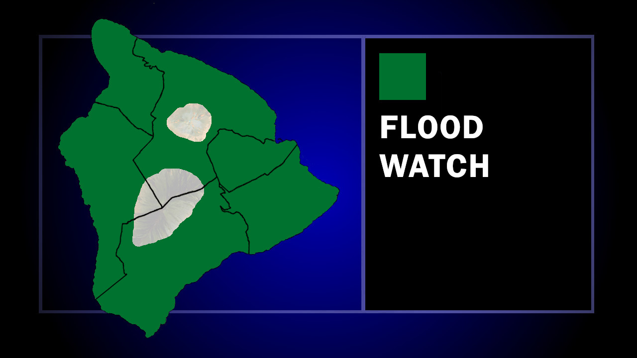
(BIVN) – A Flood Watch has been issued for Hawaiʻi island, as a powerful kona storm approaches, bringing heavy rain, flash flooding, severe thunderstorms and damaging winds.
Governor Josh Green issued an emergency proclamation on Monday in advance of the arrival of the storm system. Emergency officials note that the storm is expected to affect Kauaʻi and Oʻahu first, with conditions expanding across the rest of the state through the weekend. Heavy rain could begin on Hawaiʻi island by Wednesday night, weather forecasters say.
“Our priority is keeping the people of Hawaiʻi safe,” said Governor Green. “By issuing this emergency proclamation now, we are ensuring that state and county agencies have the resources and flexibility needed to respond quickly to flooding, severe weather and any impacts this storm may bring.”
The Hawaiʻi Department of Land and Natural Resources has already closed state parks on Kauaʻi and Oʻahu. The issuance of all state park camping permits has been suspended until further notice.
From the National Weather Service discussion posted early Tuesday morning:
At the surface, a low pressure system is located about 1,100 miles to the northwest of Kauai. An associated trough with heavy showers and embedded thunderstorms resides just to the west of Kauai and Niihau. These surface features will drive much of the impactful weather that will affect the islands over the next several days. Winds today will strengthen and veer southerly for the western half of the state and southeasterly for the eastern half. A broad swath of deep tropical moisture with precipitable water values (PWats) ranging from 1.5 to 2 inches will be drawn up in this southerly flow (currently within the trough seen to the west of Niihau) and move over the western end of the state today into Wednesday. The mid and upper levels of the atmosphere will make this weeks event particularly threatening for the state. Large scale, potent troughing aloft with smaller shortwaves rotating around the broader trough will support large scale ascent across the area. The broad upper trough will move southeast towards our area and push the associated surface trough and moisture east.
Together, these ingredients will support periods of heavy rainfall with embedded thunderstorms and gusty winds. Impacts today and tonight are expected to be focused primarily across the western half of the state. By Wednesday, the moisture will spread to Maui County, and then the Big Island by Wednesday night, where heavy showers and thunderstorms will be moving into the south and southeast slopes.
Flooding concerns will then continue statewide as the week progresses, particularly where the heavier rainfall persists over the same areas for multiple days. By late week into the weekend, the upper level trough to the northwest will continue to sharpen and take on a negative tilt as a jet streak on its western flank strengthens and another shortwave trough will round the base of this trough. The axis of deep tropical moisture will spread out across the island chain, with model guidance showing PWats exceeding 2 inches. Prior to this, soils will already be saturated, increasing the likelihood that additional rainfall will produce rapid runoff and dangerous flooding conditions.
While thunderstorms are expected today through Thursday, the environment will become increasingly favorable for severe thunderstorms Thursday night through Saturday morning as the thermodynamics and kinematics (MU CAPE of 1200 to 2300 J/kg, 850-mb winds of 50 kt with up to 40 kt or more of 06 km bulk shear) become more supportive. Model guidance is also consistently showing significant upper level divergence, which increases the chances of strong to severe thunderstorms. These environmental conditions will support strong rotating updrafts (mesocyclones).
In addition to the rainfall threat, southerly winds are forecast to strengthen through the week, with the strongest winds expected Friday into the weekend. This pattern will lead to damaging downsloping winds on north through east sections of the islands, capable of downing trees and power lines. Damaging winds will also be possible with any storms that develop as well.
For the summits of the Big Island, periods of heavy snow with significant accumulations will become possible later in the week through the weekend, likely requiring the issuance of a winter storm watch/warning.
Long range guidance indicates that unsettled weather could potentially continue into next week. Residents and interests across the state should continue monitoring forecasts as the weather evolves.

by Big Island Video News
on at
STORY SUMMARY
HAWAIʻI - A powerful kona storm is expected to impact the Hawaiian islands later this week through the weekend, bringing numerous hazards statewide.