(BIVN) – With a third storm system threatening to soak Hawaiʻi with flooding rains, the Hawaiʻi Department of Land and Natural Resources is urging the public to monitor stream conditions for their safety.
The DLNR says real-time stream data is available at the Water Data for the Nation website. It is one of several tools residents can use to stay informed.
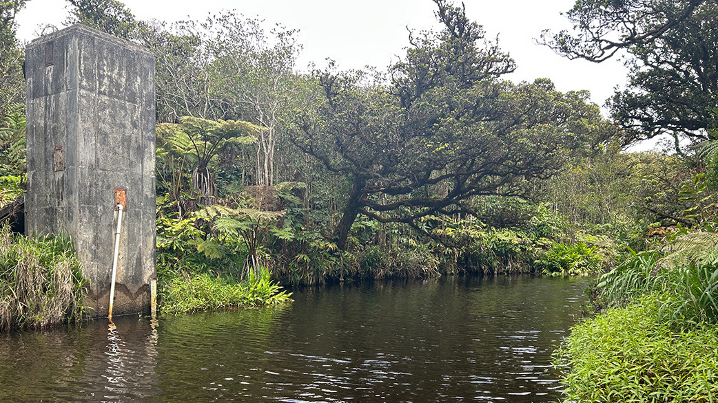
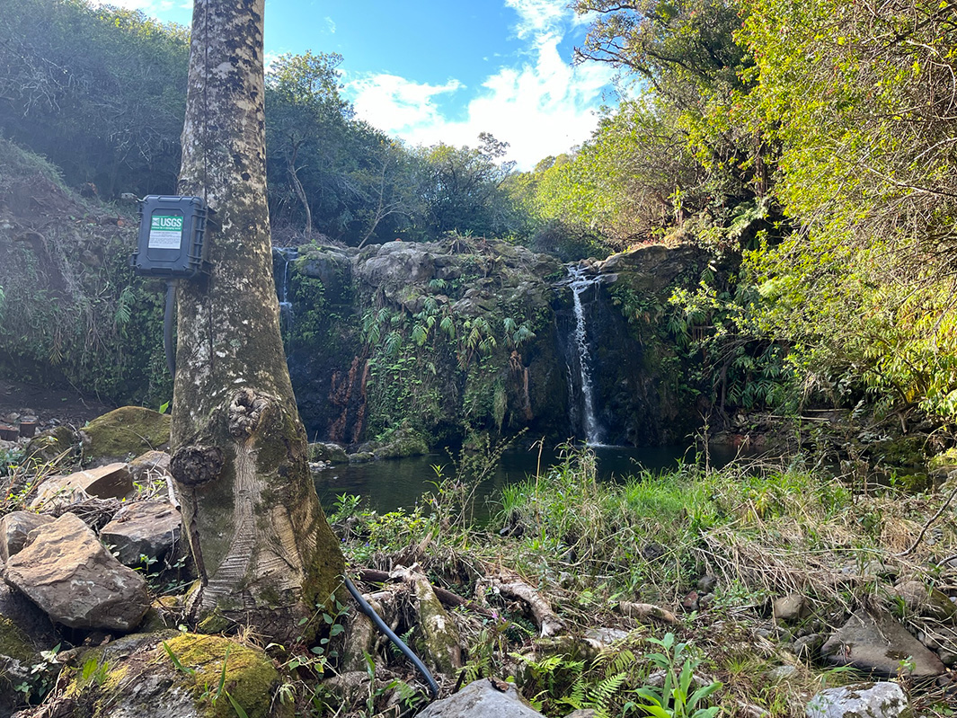
The data is made available through a partnership between the State of Hawaiʻi Commission on Water Resource Management (CWRM), the United States Geological Survey (USGS), and other state and county agencies.
To check current conditions, visit the waterdata.usgs.gov website, and:
- Select “Discharge” under the “Show only locations with” on the right of the screen.
- Zoom in to the island and click the gauge location you wish to check.
- Note any locations with a red exclamation point which alerts users to “! Extreme conditions.”
- A color code legend and other information appears below providing users with information.
According to the DLNR:
Stream gauges throughout the islands are typically updated every 15 minutes, offering timely information on rapidly changing conditions during heavy rainfall events.
CWRM advises that real-time stream data is a valuable situational awareness tool, but it should not be used as the sole basis for safety decisions.
Awini Puali Gulch of Kohala Ditch, courtesy DLNR
Because conditions can change rapidly between updates, the public should rely on official warnings and alerts from the National Weather Service, Hawaiʻi Emergency Management Agency, and county emergency management agencies, as well as using their own judgment when conditions appear unsafe.
For those who wish to receive notifications, the USGS also offers WaterAlert, a free service that sends text or e-mail updates when water levels at selected gauges reach user-defined thresholds:
Residents and visitors can find information on preparations and safety precautions for heavy rain, flooding, strong winds, power outages, large surf and coastal surge on the Hawaiʻi Emergency Management Agency and county emergency management agencies’ websites.

by Big Island Video News
on at
STORY SUMMARY
HONOLULU - Near-real-time data on stream level discharge is available to the public at 88 monitoring locations across the five main Hawaiian Islands.