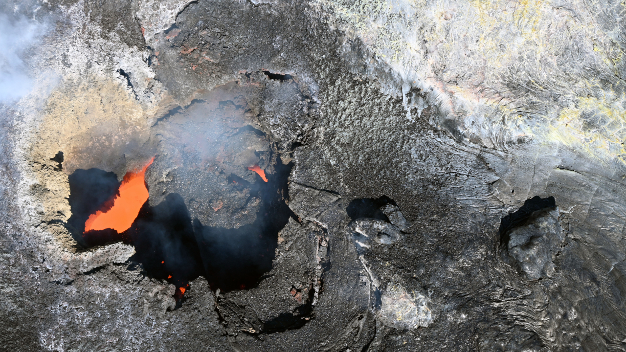
(BIVN) – The next eruptive episode at the summit of Kilauea is expected to begin at any moment.
On Tuesday, the Volcano Alert Level for Kīlauea was raised from ADVISORY to WATCH, and the Aviation Color Code from YELLOW to ORANGE, in anticipation of episode 51.
After a few days of deflation, inflation resumed Monday afternoon. Precursory lava activity began around 2:51 p.m. HST on Tuesday.
The Hawaiʻi County Civil Defense issued a radio message saying the precursory activity “could continue for hours to days before fountaining occurs.”
“Low levels winds from the northeast will blow gases and ash to Kaʻū and the Pahala and Naʻalehu area,” the civil defense message stated. “Upper level variable winds may blow ash into the communities adjacent to the Kilauea summit.”
“Take necessary precautions to avoid elevated gas levels if you have respiratory sensitivity and those on water catchment should detach the intake to their tanks,” the radio message stated.
The National Weather Service issued this Special Weather Statement due to the volcanic activity:
WHAT…An episodic fountaining eruption is expected within the Kilauea summit caldera. The Hawaiian Volcano Observatory has indicated a potential eruption window between today, July 14 and July 16. Fountaining episodes typically last less than 12 hours but ash can remain in the air longer depending on wind and weather.
IMPACTS…If an eruption occurs, varying levels of ash, Pele`s hair, and other lightweight tephra may fall downwind of the eruption. Smaller particles can travel farther from the eruption site and may affect communities at greater distances. Low level winds will carry any tephra to the west or southwest of the summit. If the eruption is strong enough to loft tephra above the trade wind inversion, tephra may be carried to the north or northwest.
PRECAUTIONARY/PREPAREDNESS ACTIONS…
If you live downwind of the Kilauea summit, or plan to visit the summit area, stay informed about current volcanic activity and weather conditions. Be prepared to take precautions if needed, such as disconnecting water catchment systems. Follow all guidance from the National Park Service and the County of Hawaii. Be aware that road or park closures may occur.
The USGS Hawaiian Volcano Observatory reported “north vent overflows decreased dramatically in vigor at 3:24 p.m. HST as tilt at UWD rolled over to nearly flat.” Lava overflows and spatter had ended.
Episode 51 is still forecast to start sometime between now and July 16th.