
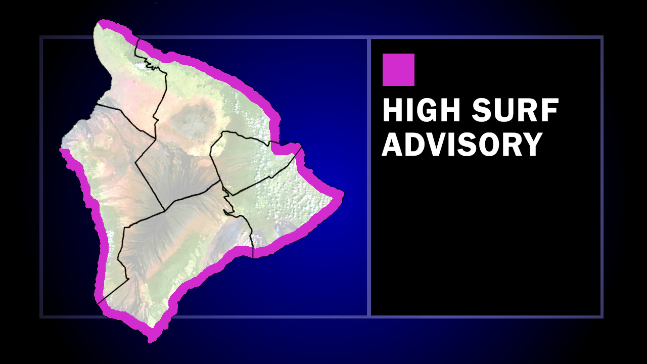

(BIVN) – The approaching Hurricane Fausto is generating an east swell that has already prompted a High Surf Advisory for east-facing shores of Hawaiʻi island. Forecasters say the advisory may need to be upgraded to a High Surf Warning as the swell peaks Monday night into Tuesday.
Surf will be building to 10 to 14 feet, the National Weather Service says.
“Surf generated by Fausto will continue to build westward across the state along exposed east-facing shores through Tuesday as Fausto approaches and begins to pass north of the islands,” the Central Pacific Hurricane Center stated on Sunday evening, noting the large surf and strong currents “will lead to dangerous conditions along exposed shores.”
As of Sunday evening, Hurricane Fausto was on a “high confidence track, keeping the center of the storm and the highest impacts passing north of the state,” the National Weather Service said. Forecasters say there is an unfavorable environment ahead that will help to weaken Fausto into a tropical storm before arrival in the vicinity of the
Hawaiian Islands.
“That said, we remain cautious at this stage that even subtle southern shifts in the track or delayed weakening trends may still produce changes to our island by island impacts,” the National Weather Service said. We strongly encourage the public to pay close attention to this passing storm system as weather impacts over the Hawaiian Islands early next week will likely evolve over time.”
