(BIVN) – The following is a transcript of the above featured video:
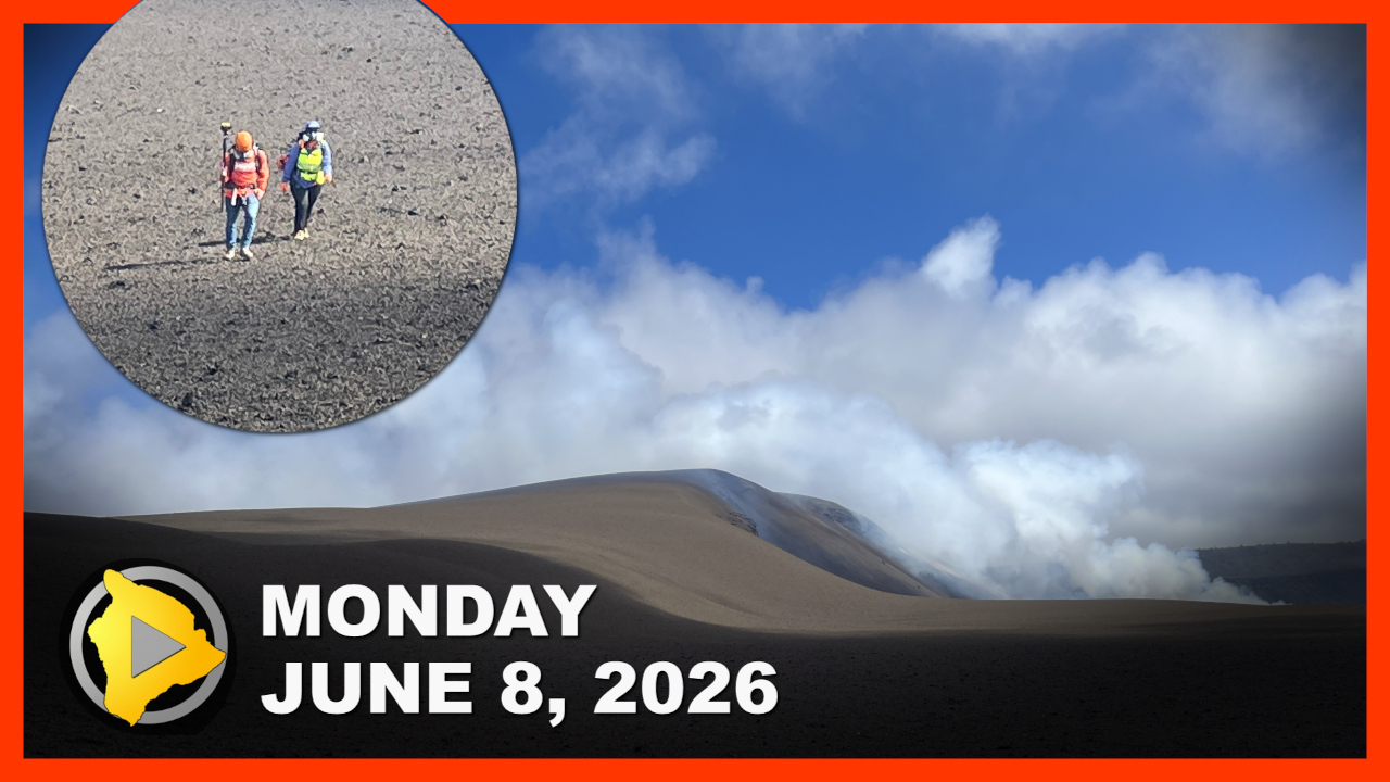
This is Big Island Video News for Monday, June 8th, 2026. Today, a plan to repave a critical section of the Daniel K. Inouye Highway moves forward, lead remediation at historic Hakalau Stream Bridge, a magnitude 4.3 earthquake rattles the Kaʻū coast, geologists survey Kilauea’s massive new tephra hill, and Hawaii Volcanoes National Park invites public feedback on the future of Kahuku.
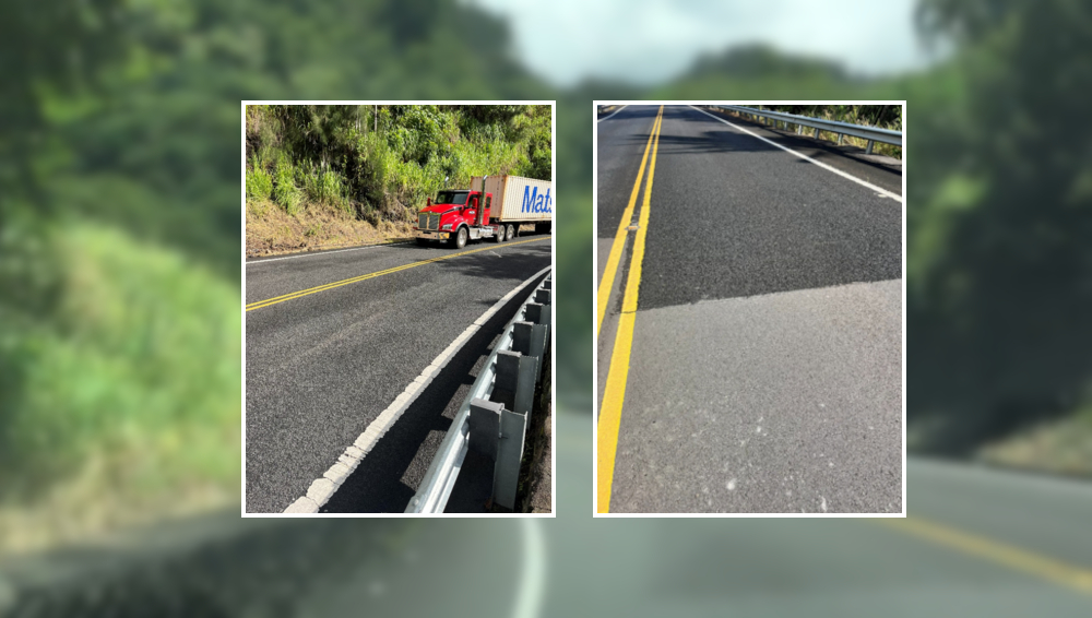
Daniel K. Inouye Highway WorkState transportation crews are moving forward with emergency safety measures on the Daniel K. Inouye Highway following a series of fatal collisions.
The Hawaii Department of Transportation today will bein installing an Open-Graded Friction Course along a stretch of the cross-island roadway. A traffic emergency zone designated between mileposts 5.5 and 28, in response to a sharp rise in traffic fatalities on the road, including five deaths so far in 2026.
On Friday, an online hearing was held on the emergency designation.
“This Open-Graded Friction Course, basically what it is, it’s porous. So the water goes through the asphalt and traverses across the road. So it doesn’t – there’s no surface water, resulting in better traction for the motorist. It’ll take approximately about a month to install. We’ll be installing striping – that wet weather road striping – from approximately mile marker 5.5 to 28.” – Clifford Corpuz, Hawaiʻi Department of Transportation
Hakalau Stream Bridge Work
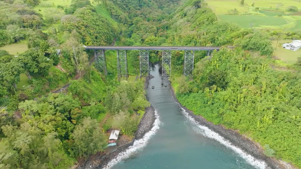
Another state highway project is also getting underway on the Hāmākaua coast.
Work has begun on the lead remediation portion of the Hakalau Stream Bridge rehabilitation project. Crews will be removing lead-contaminated soil at the bottom of the bridge through August 27th. Bridge rehabilitation work will begin after that.
As a project mitigation measure, the state has released a 30-minute historical documentary about the historic bridge, and made the film available on YouTube.
“Anytime you start talking about replacing a historic structure – you just pick a bridge along the Hāmākua coast- anytime you start talking about a structure like that, there’s so many memories tied to that structure. So many so many memories from small kid time, going over that bridge to go see auntie or uncle, or going to the airport, or whatever it may be. When you touch a structure like this, you touching somebody’s life. I mean, their historic life that comes up to this point here. And it’s always a difficult thing to tell them your memories are no longer going to be here. We’re going to replace them. We’re going to honor what we have here. We really appreciate everybody who came before us to give us this experience, these experiences that we had until this point. The safety, the connectivity, the economy, and now we’re going to give you a better experience as we move forward. So your children, your grandchildren, and all the future generations, going to benefit from this.” – Ed Sniffen, Director of the Hawaiʻi Department of Transportation
Earthquake off Kaʻū
A late-night earthquake off the southern tip of Hawaiʻi island gave residents a jolt over the weekend.The magnitude-4.1 earthquake occurred at 12:41 a.m. Sunday morning. The U.S. Geological Survey reports that the tremor was located off the Kaʻū coast, at a depth of 16 miles below sea level. The Pacific Tsunami Warning Center confirmed that there was no tsunami threat to the state. The event was felt across the island, with community reports from as far north as Waimea. No structural damage has been reported.
The earthquake had no affect on Hawaiʻi island volcanoes. The ongoing eruption at Kilauea remains paused.
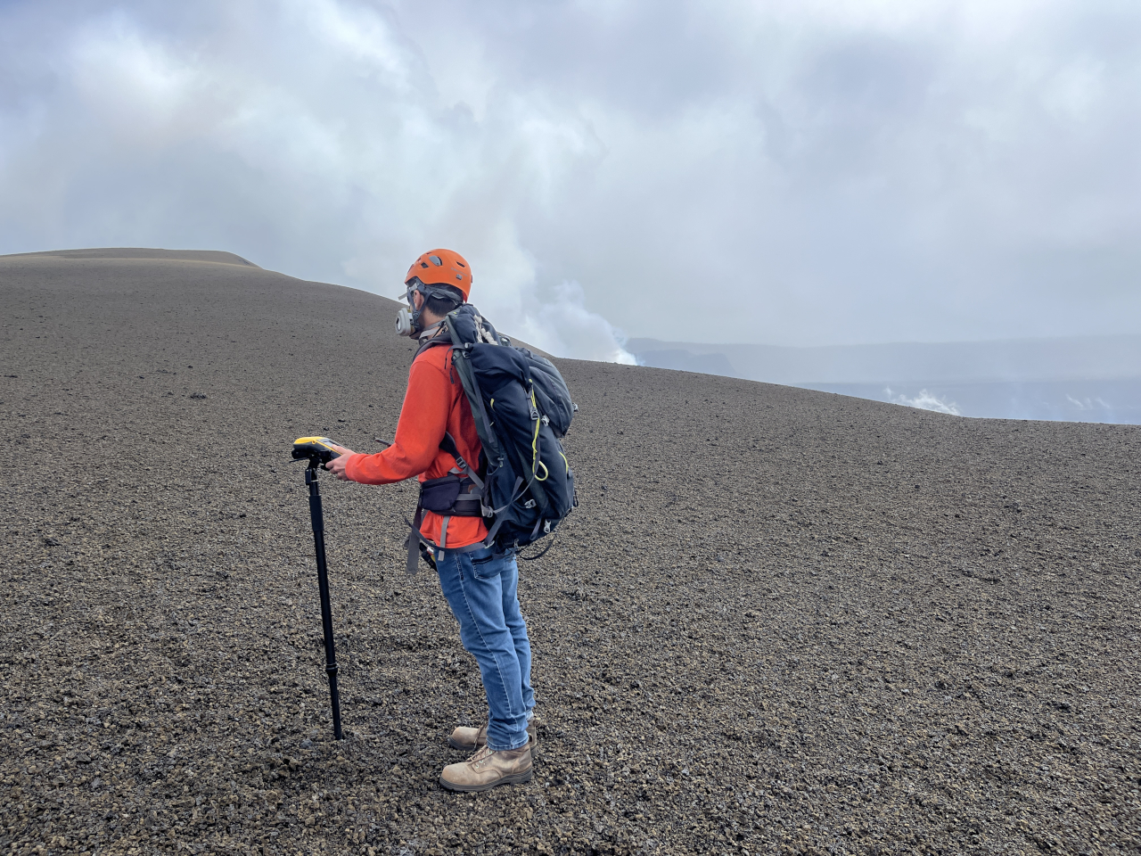
Geologists with the USGS Hawaiian Volcano Observatory recently undertook a survey of the rapidly growing tephra cone on the western margin of the summit crater. Over the course of 48 lava fountaining episodes, the glassy volcanic material has buried the surrounding landscape and pre-existing native forest. The scientists have been taking measurements on the new hill for over a year.
The Observatory says the next eruptive episode could occur between June 12th and June 15th.
HVNP Kahuku Unit plans
Meanwhile, Hawaiʻi Volcanoes National Park has opened a public comment period for its new Comprehensive Site Management Plan and Environmental Assessment for the Kahuku Unit. The proposed plan aims to protect the diverse natural and cultural landmarks of the region while expanding visitor access and recreational opportunities, including the introduction of a day-use permit system for the coastal Kahuku-Pōhue area.
A visual StoryMap with project highlights has been published online. The public comment period runs through July 1st.
The National Park Service will host two interactive talk story sessions: the first on Saturday, June 13th at the Kahuku Visitor Contact Station, and a second evening session on Tuesday, June 16th in Nāʻālehu.