(BIVN) – A magnitude-4.3 earthquake shook Hawaiʻi island on Sunday afternoon, and was felt as far away as North Kohala.
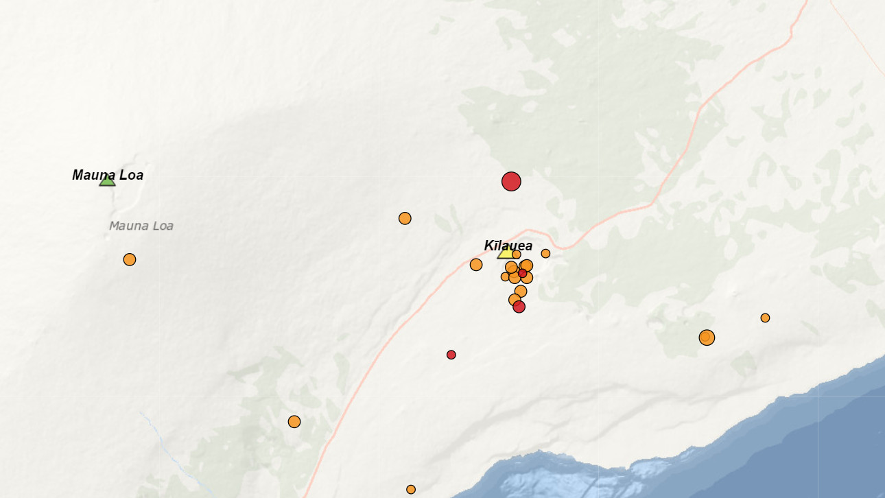
The earthquake occurred at 1:36 p.m. HST, and was located north of the Kīlauea summit caldera, at a depth of 15.5 miles, according to the USGS Hawaiian Volcano Observatory.
UPDATE – (2:42 p.m.) – The USGS HVO says the reported shaking intensity was moderate (V on the Modified Mercalli scale) and little or no damage is expected.
The USGS HVO website shows over three hundred people reported feeling the earthquake within the first hour following the event. Those numbers are fluctuating as the website seems to be updating.
The Pacific Tsunami Warning Center said no tsunami was expected from the event, although some areas may have experienced shaking.
Kīlauea and Mauna Loa volcanoes are not erupting. Webcams show no visible changes following the earthquake.
UPDATE – (2:42 p.m.) – “The depth, location, and recorded seismic waves of the earthquake suggest a source near or in the ocean crust due to stress from a combination of the weight of Mauna Loa and Kīlauea volcanoes and their associated deep plumbing systems,” HVO scientists reported.
“As in all earthquakes, be aware of the possibility of after-shocks,” said the Hawaiʻi County Civil Defense in a radio message. “If the earthquake was strongly felt in your area, precautionary checks should be made for any damages; especially structural and to utility connections of Gas, Water, and Electricity.”