(BIVN) – A Magnitude 4.4 earthquake was recorded near Waimea on Monday morning.
The USGS Hawaiian Volcano Observatory says the event occurred at 9:27 a.m. HST and was centered about 13 miles south southeast of Waimea, and east of Waikoloa, under the northwest flank of Maunakea.
The earthquake was first reported as a Magnitude 4.2 and later changed to a Magnitude 4.4. The depth of the earthquake was measured at 15.3 miles.
From the Hawaiʻi County Civil Defense:
This is a Civil Defense Local Earthquake message for Monday, December 14 at 9:30 in the morning.
The Pacific Tsunami Warning Center reports the earthquake which occurred at approximately 9:28 in the vicinity of Waikoloa was not large enough to cause a tsunami for the Island of Hawaii. I say again, there is NO TSUNAMI THREAT to the Island of Hawaii.
I say again, there is NO TSUNAMI THREAT to the Island of Hawaii.
Preliminary data indicates that the earthquake measuring a magnitude of 4.2 was centered in the vicinity of Waikoloa.
As in all earthquakes, be aware of the possibility of after-shocks. If the earthquake was strongly felt in your area, precautionary checks should be made for any damages; especially to utility connections of Gas, Water, and Electricity.
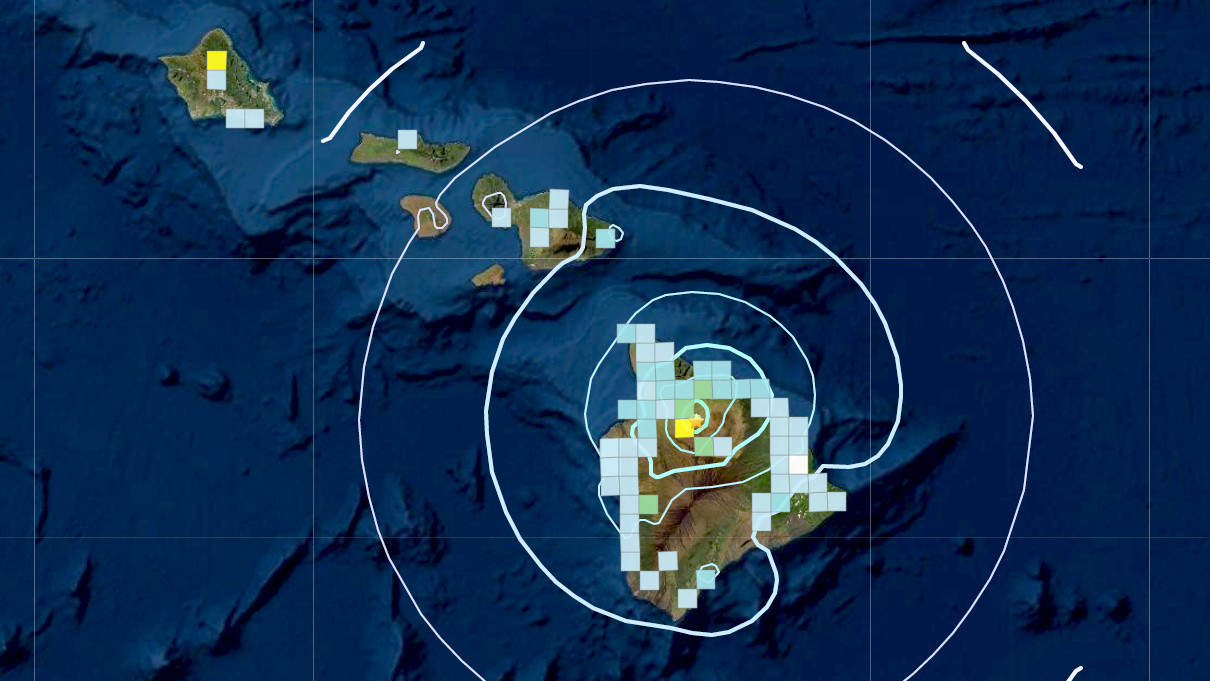
USGS “Did You Feel It?” map shows the earthquake was felt as far away as Oʻahu.
The USGS Hawaiian Volcano Observatory shared these observations in a Mauna Kea Information Statement:
The earthquake was centered about 20 km (12 miles) southeast of Waimea, Hawai‘i at a depth of 25 km (16 miles). A map showing its location is posted on the HVO website. More details are available at the National Earthquake Information Center website.
Strong shaking, with maximum Intensity of VI, has been reported across the Island of Hawai‘i. At that intensity, light damage to buildings or structures could be expected. The earthquake was reported felt over most of the Island of Hawai‘i, and as of Monday morning, December 14, USGS has received over 650 felt reports on their “Did you feel it?” Web site.
The region surrounding Mauna Kea’s summit has persistent deep earthquake activity, with over 30 earthquakes located at depths greater than 20 km every year. These earthquakes are typically small. The northwest flank of Mauna Kea has experienced only 9 earthquakes greater than magnitude-4.0, within the past 60 years. Deep earthquakes in this region are most likely caused by the structural adjustment of the Earth’s crust due to the heavy load of Mauna Kea.
According to HVO acting Scientist-in-Charge David Phillips, “This earthquake was widely felt across the Island of Hawai‘i, and even as far away as O‘ahu. Please be aware that aftershocks are possible and may be felt. HVO continues to monitor Hawaiian volcanoes for any changes.”
HVO will issue additional messages and alert level changes as warranted by changing activity. For information on recent earthquakes in Hawaii and eruption updates, visit the USGS Hawaiian Volcano Observatory website.

by Big Island Video News
on at
STORY SUMMARY
WAIMEA, Hawaiʻi - The earthquake occurred at 9:27 a.m. HST and was centered about 13 miles south southeast of Waimea under the northwest flank of Maunakea.