UPDATE – (1:15 p.m. on Friday, November 4) – The Winter Weather Advisory for the summits of Maunakea and Mauna Loa is no longer in effect.
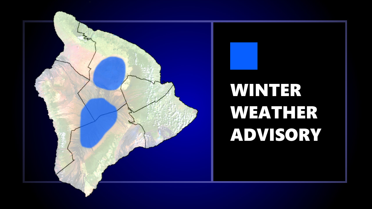
(BIVN) – A Winter Weather Advisory was issued on Friday for Hawaiʻi island summits, mainly above 13,000 feet, as periods of freezing rain were being generated by layered clouds over Maunakea and Mauna Loa.
The National Weather Service in Honolulu said the advisory would be in place until noon on Friday.
The Maunakea Summit Access Road was closed to the public at the Visitor Information Station due to heavy fog with poor visibility, rain, high humidity, and freezing temperatures, rangers reported in a message posted at 10:29 a.m. Friday.
A Winter Weather Advisory “means that periods of snow, sleet, or freezing rain will cause travel difficulties,” forecasters say. “Be prepared for slippery roads and limited visibilities and use caution while driving.”
From the National Weather Service forecast discussion posted at 10 a.m. HST:
Aloft, a persistent and large blocking high to the NE of the islands has a low moving W along it’s southwestern periphery, with water vapor imagery indicating the low is centered about 300 miles NNW of Kauai. The presence of this low has destabilized the island atmosphere, with morning soundings indicating an unstable profile. Scattered thunderstorms are developing just S and E of the low’s center, where instability is maximized. Closer to the islands, waves of moderate to heavy showers have been moving into windward and SE portions of the Big Island and Maui throughout the night. Elsewhere, fast-moving heavy showers are headed NW near 30 mph over windward waters from Oahu to the Big Island, and over waters NW of Kauai, with thunderstorms just N of the Kauai and Oahu coastal waters. Just a few windward showers have been noted over the islands from Molokai to Kauai. Scattered to broken high clouds are moving over the islands within a WSW flow aloft while scattered to broken low clouds are streaming in from the E toward Maui and the Big Island.
A Flood Advisory was posted for East Hawaiʻi on Friday morning. At 8:41 a.m. HST, rain was observed falling at a rate of 1 to 2 inches per hour over Puna and Hilo.
At 10:32 a.m., a strong thunderstorm was located 17 nautical miles southeast of Naʻalehu, moving northwest at 20 knots.

by Big Island Video News
on at
STORY SUMMARY
HAWAIʻI ISLAND - Periods of freezing rain is expected to continue Friday morning across the summits of Maunakea and Mauna Loa, above 13,000 feet.