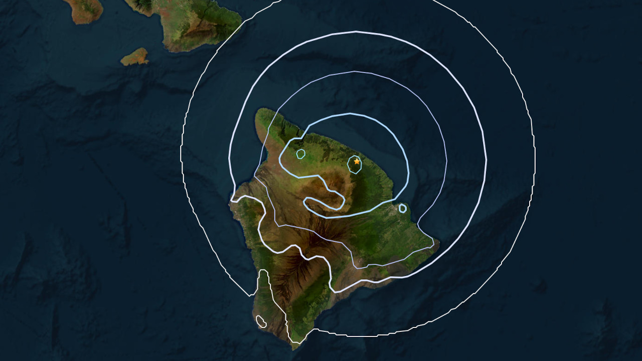
(BIVN) – A magnitude-3.6 earthquake occurred at 12:59 p.m. HST Friday on the Hāmākua coast.
The quake was located about 4 miles (6 km) west-southwest of Laupāhoehoe, at a depth of 19 miles (31 km) below sea level. The event was not strong enough to generate a tsunami.
At 3:30 p.m., the USGS Hawaiian Volcano Observatory issued an information statement on the earthquake, reporting the event had no apparent impact on either Mauna Loa or Kīlauea volcanoes.
From the USGS:
The depth, location, and recorded seismic waves of the earthquake suggest a source due to bending of the oceanic plate from the weight of the Hawaiian island chain, a common source for earthquakes in this area. The event is likely related to stress from the weight of the island on the underlying ocean crust and was not directly related to volcanic processes.
No damage to buildings or infrastructure is expected, based on the earthquake’s intensity. Light shaking is reported to have occurred.
There were more then 65 “felt reports” within the first two hours of the earthquake. The event was felt as far away as North Kohala and Hilo, with one report coming from Maui.

by Big Island Video News
on at
STORY SUMMARY
LAUPĀHOEHOE, Hawaiʻi - The earthquake occurred just before 1 p.m. HST on Friday afternoon, at a depth of 19 miles below sea level.