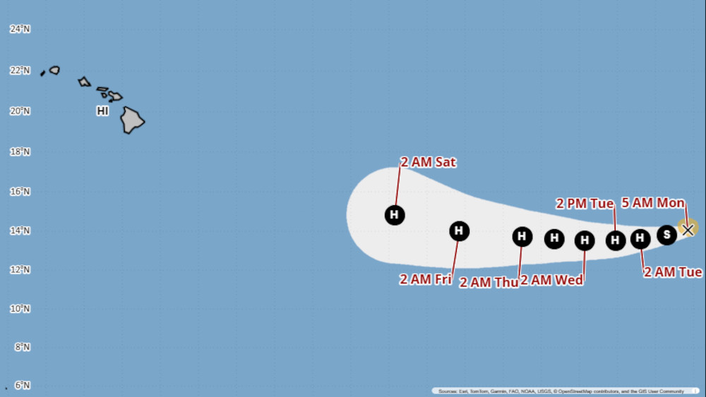
(BIVN) – Tropical Storm Kiko is gaining strength in the Eastern Pacific, and is expected to become a hurricane as it moves west into the Central Pacific.
Kiko is 1,235 miles west-southwest of Baja California, moving west at 8 mph. Maximum sustained winds are near 60 mph (95 km/h) with higher gusts, and the Central Pacific Hurricane Center forecasts rapid strengthening over the next 24 hours. Kiko is forecast to become a hurricane by Tuesday.
“At this time it’s too early to tell what, if any, impacts this system might have on the local weather across the state,” the National Weather Service in Honolulu wrote on Monday morning.
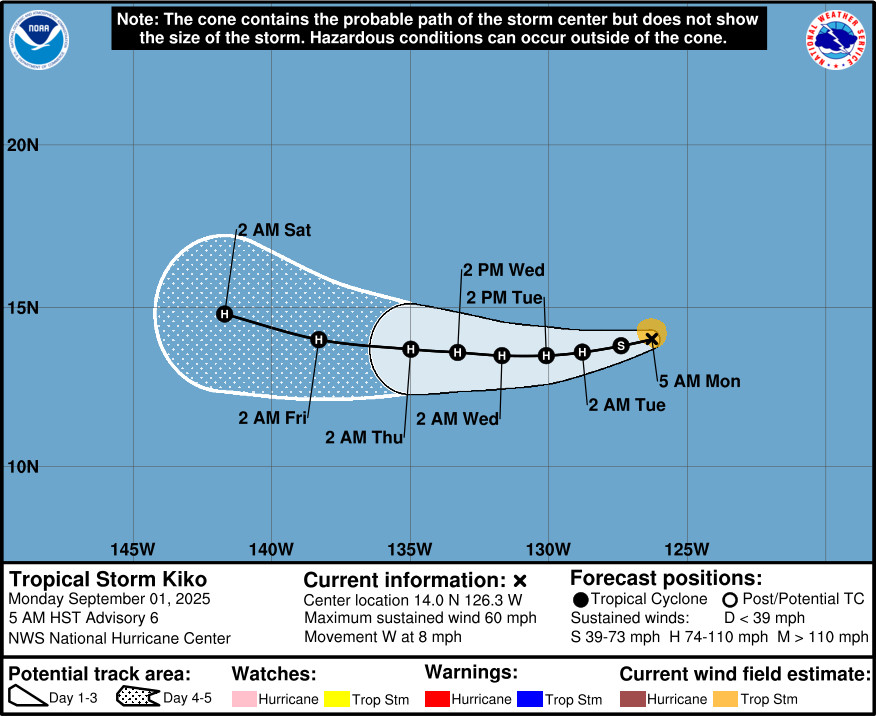
From the National Hurricane Center discussion posted on Monday morning:
Kiko has intensified overnight and remains a compact storm. A timely GMI microwave pass revealed a closed cyan ring around the center in the 37-GHz image. The system’s compact size and improving core structure suggest that the inner core is consolidating, which often precedes rapid intensification. Subjective Dvorak intensity estimates from TAFB are 3.0/45 kt and from SAB are 4.0/64 kt, while objective estimates have increased into the 40–50 kt range. Given this range of data and the improving satellite presentation, the initial intensity is set at 50 kt for this advisory.
Kiko is moving just south of due west, or 265/7 kt, steered by a mid-level subtropical ridge to the north. This general motion is expected to continue for the next 36 hours, followed by a more westward track through about 72 hours. Thereafter, the cyclone should gradually begin to turn toward the west-northwest as it crosses into the central Pacific basin between days 4 and 5 due to a potential weakness in the subtropical ridge far north of the Hawaiian Islands. While the overall synoptic pattern is consistent, there remains considerable spread in along-track speed among the models. The NHC forecast is nearly identical to the previous one and continues to lean heavily on a blend of the HCCA and EMXI aids, which are near the faster side of the guidance envelope.
Despite somewhat drier mid-level conditions along its forecast track, the combination of light vertical wind shear, warm sea surface temperatures, and Kiko’s small compact core should allow for strengthening in the short term. Rapid intensification probabilities from the SHIPS guidance have increased over the past 24 hours, with around a 30–40 percent chance of a 30-kt increase in the next 24 hours. As a result, the official forecast reflects the potential for this during the first 24 hours, placing the intensity near the upper end of the guidance envelope during that period. Kiko’s intensity is forecast to peak near 85 kt in about 48 hours and then hold steady through day 5, which is near the middle to upper end of the guidance envelope.

by Big Island Video News
on at
STORY SUMMARY
HAWAIʻI - Rapid strengthening is forecast over the next 24 hours, and Tropical Storm Kiko is expected to become a hurricane by Tuesday.