(BIVN) – The National Weather Service has issued two advisories for Hawaiʻi island shores.
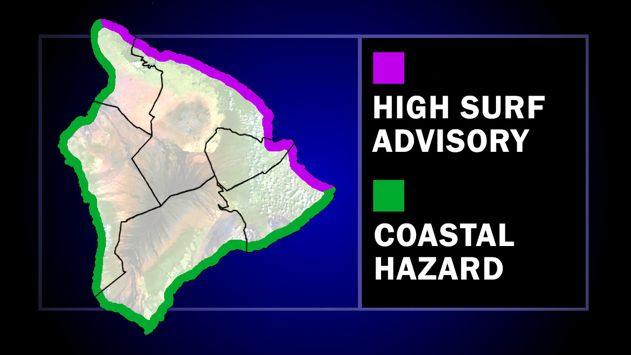
The first is a coastal hazard message, which applies to all shorelines of the Hawaiian Islands. “Peak monthly high tides combined with water levels that are running higher than predicted will lead to minor flooding along the shoreline and in low-lying coastal areas,” the Honolulu-based forecasters wrote. “Coastal flooding is possible around the daily peak tide, which will be during the
early morning hours.”
Meanwhile, a “large north-northwest medium period swell” will build through Thursday, increasing surf heights above advisory thresholds along certain north and west-facing shores, including the north-facing beaches of East Hawaiʻi.
The National Weather Service says large breaking waves along north facing shores could reach 12 to 18 feet.
The High Surf Advisory is expected to be in place until 6 p.m. on Thursday. “Surf heights will likely fall below advisory thresholds by Thursday night as the swell energy decreases,” the forecasters wrote.

by Big Island Video News
on at
STORY SUMMARY
ISLAND OF HAWAIʻI - A large north-northwest medium period swell will build into the Hawaiian Islands through Thursday, with minor flooding during peak monthly high tides.