(BIVN) – A magnitude-4.6 earthquake shook Hawaiʻi island at 5:58 p.m. on Tuesday evening, June 2.
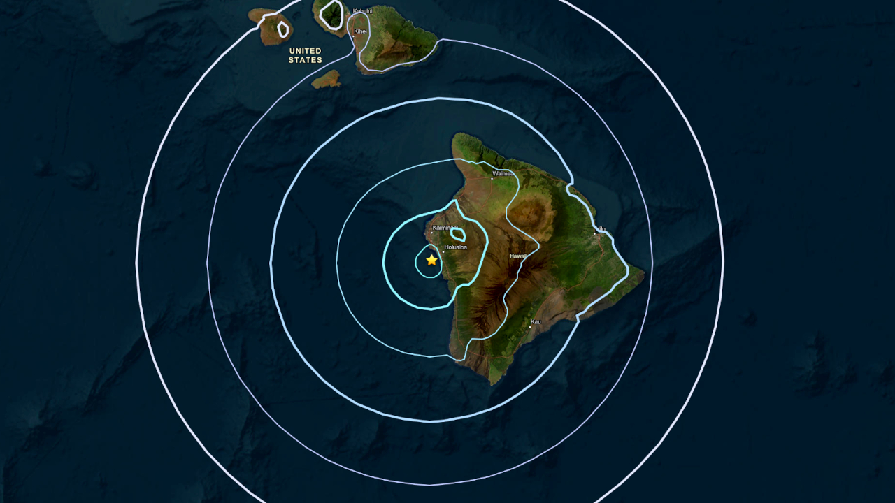
The earthquake was located 4 miles (6 km) west-northwest of Kahaluʻu-Keauhou in the area of Kona, at a depth of 21 miles (34 km) below sea level.
The Pacific Tsunami Warning Center confirmed the quake was not strong enough to generate a tsunami threat to Hawaiʻi.
The earthquake had no apparent impact on Hualālai, Mauna Loa, or Kīlauea volcanoes. The ongoing eruption at the summit of Kīlauea remains paused following Monday’s episode 48 high lava fountain event.
In an information statement, the USGS Hawaiian Volcano Observatory reported moderate shaking during the event, which could cause light damage.
From the Observatory:
The depth, location, and recorded seismic waves of the earthquake suggest a source due to bending of the Pacific plate from the weight of the Hawaiian island chain, a common source for earthquakes in this area. These earthquakes are generated below the volcanoes and the ocean crust in the upper mantle beneath the Hawaiian Islands. The earthquake today is similar in origin but unrelated to the magnitude-6 that occurred on May 22. Like the magnitude-6 earthquake that occurred on May 22, this event is likely related to stress from the weight of the island on the underlying rigid mantle and was not directly related to volcanic processes or magma movement.
Unlike the May 22 earthquake, which damaged multiple structures in the Kona and Kaʻū area, only “very light damage to buildings or infrastructure” was expected based on the intensity of Tuesday evening’s earthquake.
There were more than 121 “Felt” reports submitted to the USGS within the first hour of Tuesday’s quake.