Big Island Video News

Serving Hawaii County

  • Hawaiʻi Island News Regions
    • Hamakua
      • Mauna Kea
    • Hilo
    • Kau
    • Kona
    • Kohala
    • Puna

interactive USGS map showing the location of the earthquake

Magnitude 3.7 Earthquake In Puna Jolts Hawai‘i
Avatar photo

by Big Island Video News
on May 4, 2023 at 1:37 pm

Subscribe to Big Island Video News (FREE)

* indicates required

STORY SUMMARY

PUNA, Hawai‘i - The earthquake was located about 7 miles south southeast of Fern Forest, at a depth of about 3.7 miles.

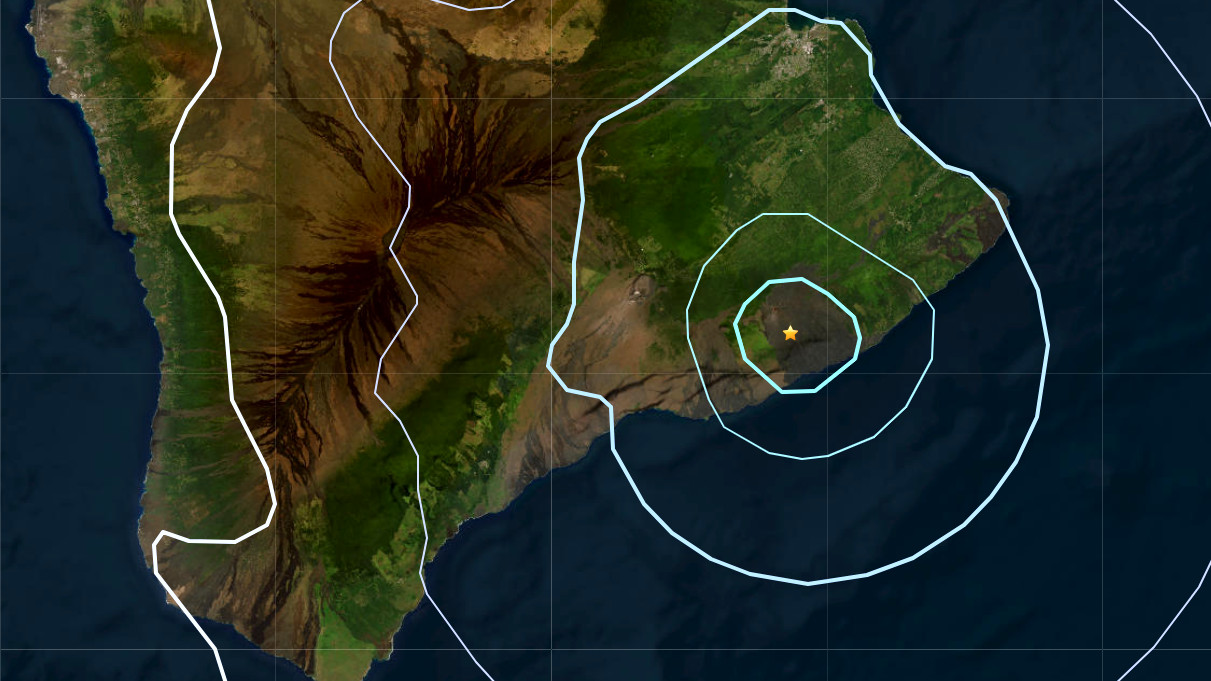
(BIVN) – A magnitude 3.7 earthquake centered in the Puna district shook East Hawai‘i on Thursday.

The earthquake struck at 1:22 p.m. HST about 7 miles (12 km) south southeast of Fern Forest, at a depth of about 3.7 miles (5.8 km). It was located within the boundary of Hawai‘i Volcanoes National Park.

The quake was felt as a jolt as far north as Hilo and Hāmākua.

We will update this story with more information as it becomes available.


Filed Under: Hawaii Tagged With: earthquake

LATEST NEWS

Wind Advisory Issued For Parts Of Hawaiʻi Island

Hawaiian Electric Monitoring Wildfire Risk, Power Shutoff Could Be Needed

VOLCANO WATCH: Kīlauea “Gas Pistoning” Explained

Pāhala Wastewater Collection System Construction Starts Monday, July 7

High Bacteria Advisories Issued For Two South Kona Shorelines

Cessna Aircraft Crash Lands On Kona Beach Road

About Big Island Video News

  • Privacy Policy

Copyright © 2025 · Dynamik-Gen on Genesis Framework · WordPress · Log in